National Geographic
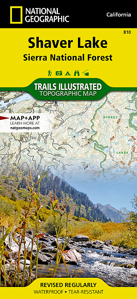
Shaver Lake Trails Illustrated Topographic Map #810
Shaver Lake Trails Illustrated Topographic Map #810
Couldn't load pickup availability
Share
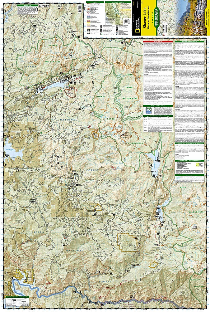
Get ready to explore one of California’s best-kept adventure hubs with the Shaver Lake Trails Illustrated Topographic Map #810 by National Geographic! Nestled in Sierra National Forest between Yosemite and Sequoia National Parks, this waterproof, tear-resistant map is the ultimate hiker’s companion for trails, peaks, and hidden gems.
Discover scenic favorites like Rancheria Falls, the peaceful Dinkey Lakes Wilderness, and the dramatic Lewis Creek Trail, where history meets beauty—once traveled by loggers and early settlers shaping the Sierra foothills. Whether you’re chasing alpine views, paddling at Huntington Lake, or following the historic Sierra Heritage Byway, this map has every mile covered.
Packed with clearly marked trailheads, mileage, recreation highlights, and even a whitewater difficulty chart for the Kings Wild and Scenic River, it’s built for hikers, campers, and explorers who want more than just a trail guide. Take it anywhere, rain or shine—adventure guaranteed.
SKU: SKU:TRA810
View full details