National Forest Service
Sequoia National Forest Service Map
Sequoia National Forest Service Map
Couldn't load pickup availability
Share
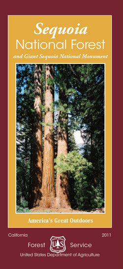
Explore California’s towering wonders with the Sequoia National Forest Service Map—your essential guide to one of the state’s most majestic landscapes. Located in the southern Sierra Nevada Mountains, this forest spans over 1.1 million acres and is home to the world’s largest trees, including the awe-inspiring giants found along the Trail of a Hundred Giants.
Don’t miss iconic destinations like Dome Rock, Kern River Canyon, and the Needles Lookout. The forest teems with wildlife including black bears, mule deer, and over 200 bird species, while its diverse flora features ancient giant sequoias, ponderosa pines, and wildflowers galore. Originally designated in 1908, Sequoia National Forest is steeped in natural and cultural history.
Whether you're planning to hike, camp, or simply stand in awe beneath trees 270 feet tall and 30 feet wide, this waterproof, topographic map ensures you’ll navigate with confidence. Visit, explore, and be humbled by nature’s grandeur.
- Waterproof Map
- 1/2" to the Mile
SKU: SKU:NFCASE
View full details