National Geographic
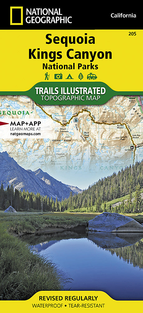
Sequoia & Kings Canyon NP Trails Illustrated Topographic Map #205
Sequoia & Kings Canyon NP Trails Illustrated Topographic Map #205
Couldn't load pickup availability
Share
Step into giant country with the Sequoia & Kings Canyon National Parks Trails Illustrated Topographic Map #205 by National Geographic. This hiker’s essential opens the door to unforgettable adventures among the planet’s largest trees, dramatic alpine ridgelines, and one of North America’s deepest canyons. Explore the legendary Giant Forest where General Sherman—the world’s largest tree—stands, trek to the summit of Mt. Whitney, the tallest peak in the contiguous U.S., or discover the sheer granite walls and roaring rivers of Kings Canyon.
Steeped in history, these parks were first protected in 1890, making Sequoia America’s second-oldest national park. Today, they remain a rugged paradise of wilderness trails, glacial valleys, and endless starry skies. This waterproof, tear-resistant topo map is loaded with detail: clearly marked trails, campgrounds, overlooks, backcountry zones, and UTM grids for GPS use. Whether you’re day hiking, backpacking the John Muir Trail, or tackling the Pacific Crest, this map will keep you on track.
SKU: SKU:TRA205
View full details