Tom Harrison Maps
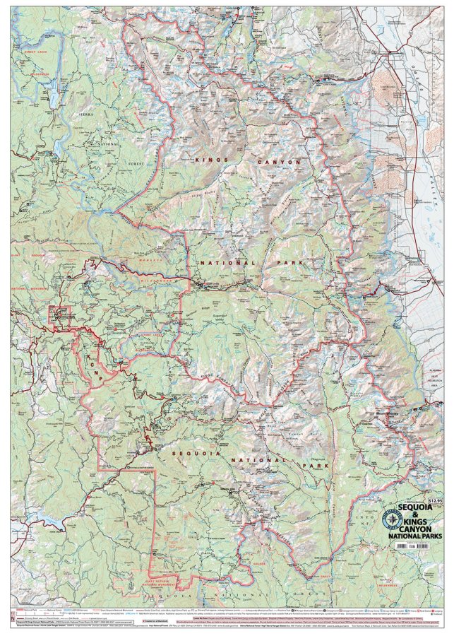
Sequoia & Kings Canyon National Parks Hiking Map by Tom Harrison
Sequoia & Kings Canyon National Parks Hiking Map by Tom Harrison
Couldn't load pickup availability
Share
Lace up your boots and explore California’s wild side with the Sequoia & Kings Canyon National Parks Hiking Map by Tom Harrison! From towering ancient trees to rugged Sierra Nevada peaks, this trail-ready map helps you plan unforgettable adventures through two spectacular national parks.
Discover legendary hikes like the Congress Trail, winding among giant sequoias in Giant Forest, and the challenging Rae Lakes Loop, featuring alpine lakes, dramatic mountain passes, and breathtaking wilderness scenery. Keep your eyes open for black bears, mule deer, marmots, and golden eagles, while wildflowers, fragrant pines, and towering sequoias bring the landscape to life.
Covering the combined Sequoia and Kings Canyon National Parks region on both sides of the Sierra Nevada, this detailed hiking map includes trail mileage, elevation points, trailheads, campgrounds, ranger stations, equestrian facilities, and forest service roads. Lodging and RV parks are also marked for convenient trip planning.
With a 1:126,720 scale and 200-foot contour intervals, this Tom Harrison hiking map is an essential companion for exploring California’s spectacular mountain wilderness.
SKU: SKU:HARSEQUOIA
View full details