1
/
of
2
Cairn Cartographics
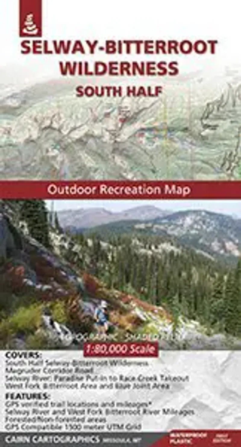
Selway - Bitterroot Wilderness (South) Map
Selway - Bitterroot Wilderness (South) Map
Regular price
$17.95 USD
Regular price
Sale price
$17.95 USD
Unit price
/
per
Couldn't load pickup availability
Share
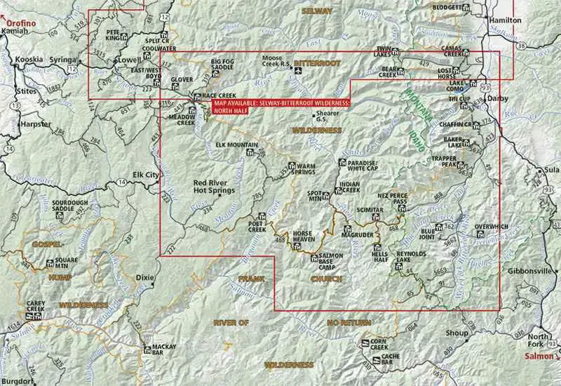
This Topographical Recreation Map by Cairn Cartographics covers the South Half of the Selway - Bitterroot Wilderness as well as the Magruder Corridor Road, the West Fork Bitterroot Area, the Blue Joint Area and the Selway River from the Paradise Point Put-In to the Race Creek Takeout.
The map has topographic shaded-relief with a contour interval of 100 feet. Details include roads - paved and dirt, primary and secondary Forest Service trails, trailheads, campgrounds, boat launches and fishing access.
Waterproof, Tearproof and is GPS Ready with a UTM Grid!
SKU: SKU:CAISBWS
View full details