NOAA
Seattle to Bremerton Nautical Chart #18449
Seattle to Bremerton Nautical Chart #18449
Couldn't load pickup availability
Share
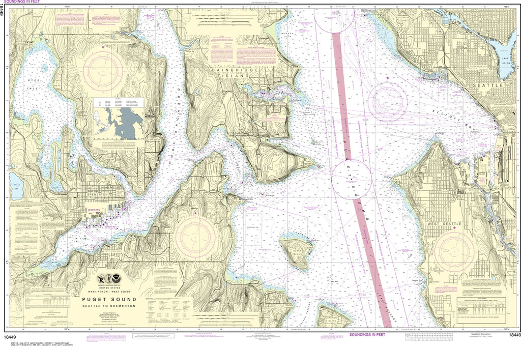
From Seattle’s bustling Elliott Bay to Bremerton’s storied naval harbor, this chart brings Puget Sound’s busiest waters to life at a glance. The Seattle to Bremerton Nautical Chart #18449 is a must-have for boaters, collectors, and maritime enthusiasts exploring the heart of Washington’s inland sea.
Covering Elliott Bay, Seattle waterfront, Bainbridge Island, Rich Passage, Sinclair Inlet, Port Orchard, and the naval stronghold of Bremerton, it captures the complex ferry routes and working waterways of central Puget Sound. A key historical anchor of the region, Bremerton is home to the Puget Sound Naval Shipyard, a vital U.S. Navy repair and shipbuilding hub dating back to World War II, still shaping maritime history today.
Detailed at a 1:25,000 scale and sized 48" x 32", it delivers exceptional clarity for reference or display. Perfect for wall display, study, or nautical inspiration, this chart highlights every channel, shoreline, and passage with crisp cartographic detail prized by mariners and coastal explorers alike.
(View more detail in nautical chart viewer)
Please note: For decorative and reference purposes only, NOAA has officially sunset traditional paper nautical charts. These legacy charts are no longer updated or approved for primary navigation.
SKU: SKU:NOS18449
View full details