SeaTrails
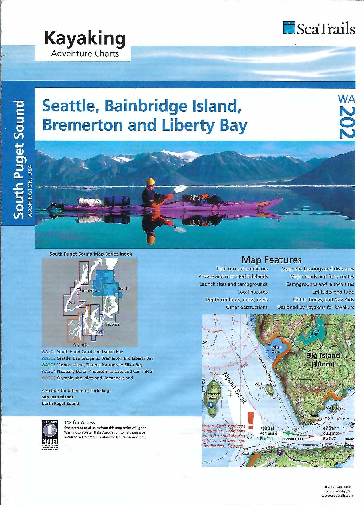
Seattle, Bainbridge Island, Bremerton & Liberty Bay Paddling Map WA202
Seattle, Bainbridge Island, Bremerton & Liberty Bay Paddling Map WA202
Couldn't load pickup availability
Share
Explore Puget Sound with the Seattle, Bainbridge Island, Bremerton & Liberty Bay Kayaking Adventure Chart by SeaTrails—your perfect paddling companion. This waterproof, deck-ready map is packed with details every kayaker craves, from launch points and campgrounds to ferry routes and paddling hazards.
Plan scenic trips with shoreline distances and bearings included for select routes. Paddle past the iconic Seattle skyline, explore the quiet beauty of Liberty Bay, or catch wildlife views near Bainbridge Island’s Bloedel Reserve. You’ll also find light and buoy locations, reefs, and depth contours to keep your journey safe and smooth.
Designed specifically for sea kayakers, SeaTrails Charts help you navigate the water with confidence and ease. Whether you’re a local or just visiting, this chart turns paddling into pure adventure.
SKU: SKU:SEAWA202
View full details