USGS
Seattle Area 1:24K USGS Topo Maps
Seattle Area 1:24K USGS Topo Maps
Couldn't load pickup availability
Share
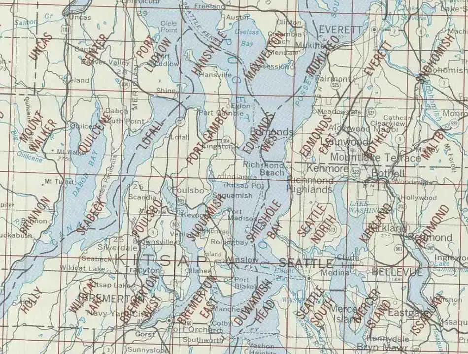
The Seattle area covers a large part of King and Kitsap Counties including Vashon Island. Most intriguing title in this grouping.....Port Gamble!
The 7.5 minute maps by USGS are the most detailed topographic maps of Washington State and are the best tool for figuring out the shape of the land using contour lines. Hills, depressions, cliffs, plateaus, and other physical features are clearly marked on these maps, while colors and symbols indicate whether these hills are wooded or clear. Roads, trails, power lines and shelters are also marked.
Each map measures approximately 22" x 27".
Please Note: The USGS has combined the following maps into 15 x 7.5 minute maps measuring approximately 36" x 27":
- Shilshole Bay & Seattle North are now Seattle North 15' x 7.5'
- Duwamish Head & Seattle South are now Seattle Seattle South 15' x 7.5'
- Kirkland & Redmond are now Bellevue North 15' x 7.5'
- Mercer Island & Issaquah are now Bellevue South 15' x 7.5'
SKU: SKU:
View full details