National Forest Service
Sawtooth National Forest - Minidoka Ranger District Forest Service Map
Sawtooth National Forest - Minidoka Ranger District Forest Service Map
Couldn't load pickup availability
Share
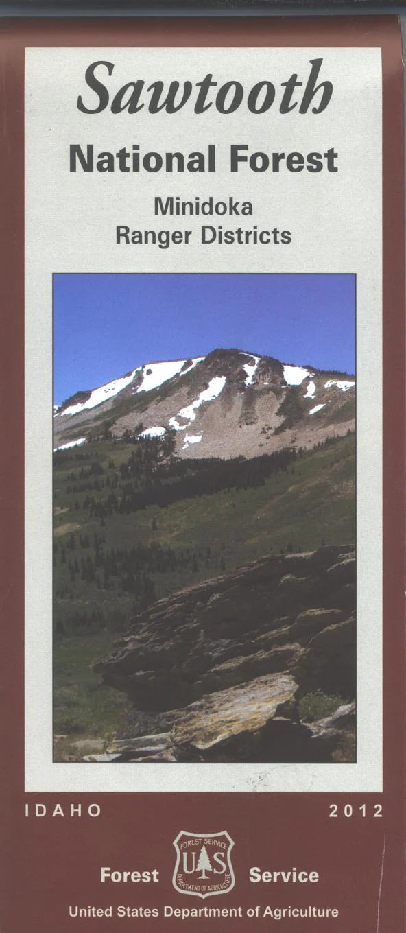
Discover the wild beauty of southern Idaho with the Minidoka Ranger District National Forest Service Map. Covering over 600,000 acres of the Sawtooth National Forest, this waterproof, tear-resistant topographic map guides you through an area rich in history and natural wonder.
Explore the breathtaking vistas of Independence Lakes, hike the scenic Skyline Trail, or fish and camp at Lake Cleveland—all popular highlights in this high desert-meets-alpine wonderland. Wildlife lovers may spot mule deer, moose, and golden eagles, while botanists will appreciate diverse flora, from vibrant wildflowers to ancient whitebark pines. Located just east of Twin Falls, this region played a role in early pioneer migration and offers quiet trails, rugged peaks, and starry night skies.
Whether you're hiking, horseback riding, or simply exploring, the Minidoka Ranger District map is your essential companion for safe and unforgettable adventure. Plan your visit and experience Idaho’s hidden gem!
SKU: SKU:NFIDSAWT
View full details