International Travel Maps
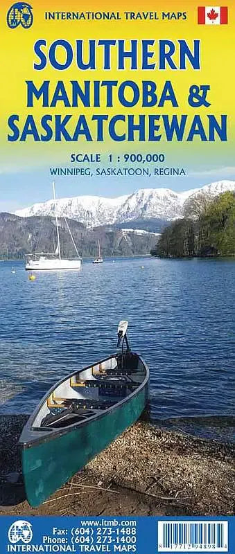
Saskatchewan & Manitoba Travel Map
Saskatchewan & Manitoba Travel Map
Couldn't load pickup availability
Share
Discover the vast expanses of the Canadian Prairies with the ITMB Saskatchewan & Manitoba Provinces Travel Map, double sided and scaled at 1:900,000. Perfect for explorers and road trippers alike, this new map provides an excellent overview of the southern halves of these two picturesque provinces.
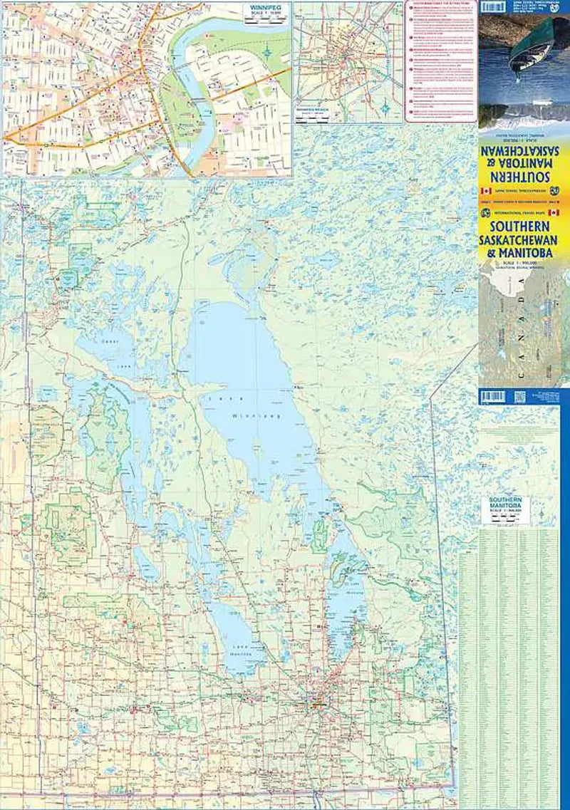
On the Manitoba side, you’ll find a detailed inset of Winnipeg, the provincial capital rich in culture and history. The map extends as far north as the mining town of Flin Flon, offering insights into the region’s diverse landscape. One of the unique features of Manitoba is the single road connecting it to Ontario and eastern Canada—Highway 1, better known as the Trans-Canada Highway.
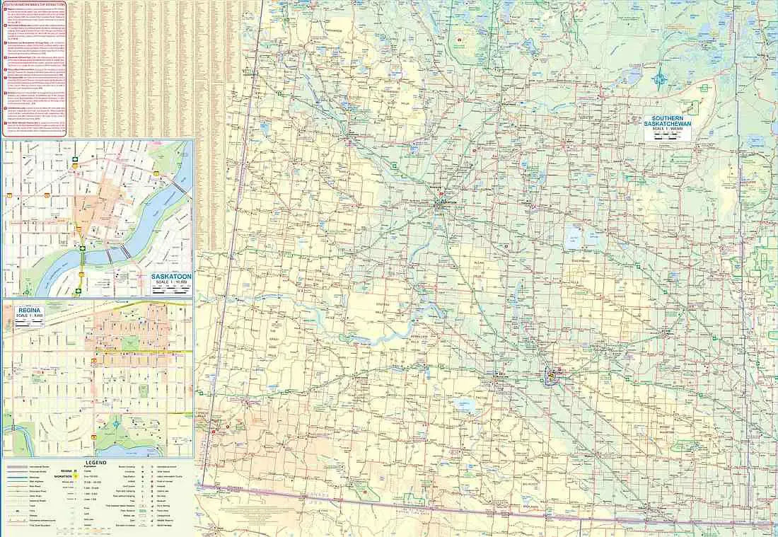
Flip the map over to discover Saskatchewan, from the U.S. border north to the wilderness of Prince Albert National Park. Renowned for its scenic beauty and wildlife, Prince Albert is one of the province’s most popular natural attractions. The map also includes large insets of Regina, the capital, and Saskatoon, highlighting key roads and landmarks in these vibrant cities.
Despite the general flatness of the prairies, the land gently rises toward the western part of Saskatchewan, offering glimpses of the dramatic landscape leading toward Alberta's Rockies. With clear indicators of highways, rivers, lakes, and points of interest, this map is a must-have for those wanting to experience the heart of the Canadian Prairies.
SKU: SKU:ITMSMANSASK
View full details