National Geographic
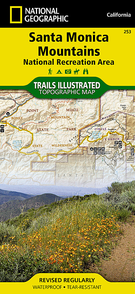
Santa Monica Mountains NRA Trails Illustrated Topographic Map #253
Santa Monica Mountains NRA Trails Illustrated Topographic Map #253
Couldn't load pickup availability
Share
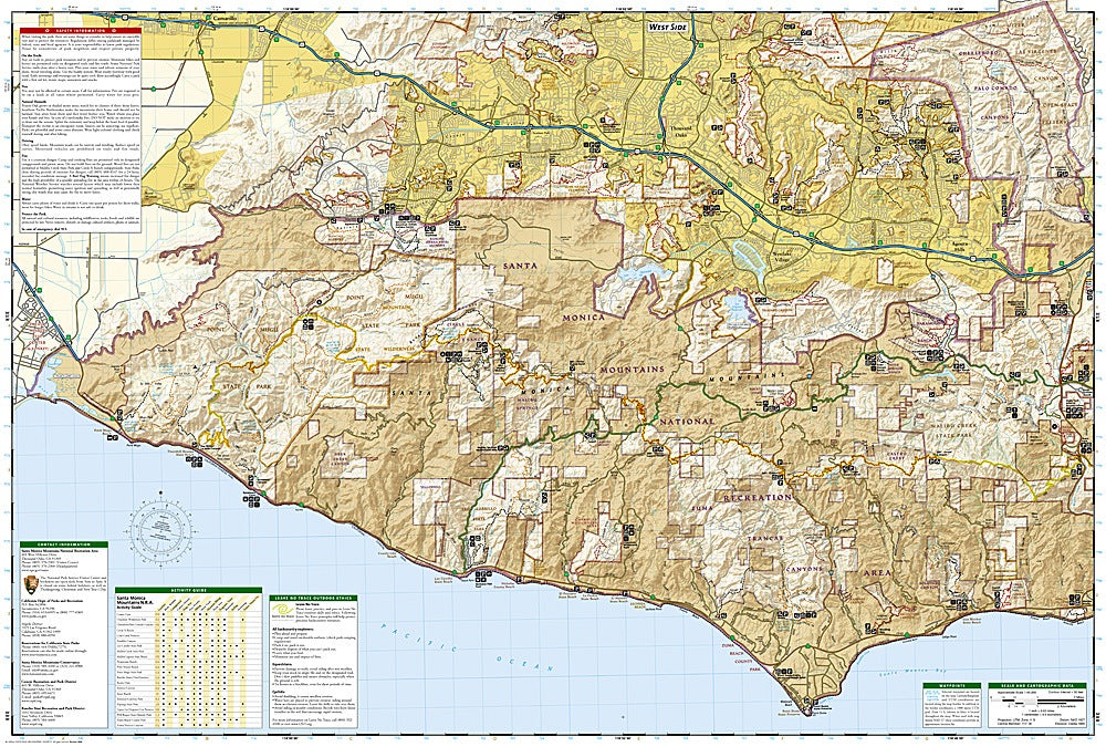
Hit the trails with confidence and explore the wild side of Los Angeles! National Geographic’s Santa Monica Mountains NRA Trails Illustrated Topographic Map #253 is your ultimate hiker-friendly companion, covering the largest urban park in the U.S. from Point Mugu to Will Rogers State Beach. Navigate iconic spots like Malibu Creek State Park, Paramount Ranch, and the scenic Backbone Trail while soaking up stunning coastal views.
This map isn’t just about trails—it’s a portal into history. Discover the former movie sets of Paramount Ranch, the Chumash Native American heritage, and the 20th-century development of Mulholland Drive as you hike, bike, or ride horseback through lush canyons and rugged ridgelines. Detailed topography, shaded relief, elevations, and clearly marked recreation features make planning adventures effortless. Waterproof and tear-resistant, with a full UTM grid for GPS navigation, this map ensures you’ll never get lost in the Santa Monica Mountains’ breathtaking mix of nature and history.
It’s adventure, mapped.
SKU: SKU:TRA253
View full details