National Geographic
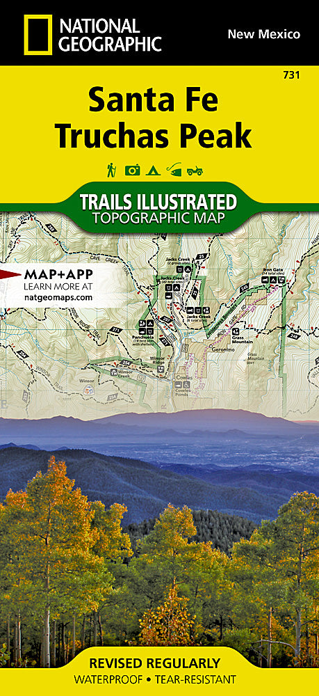
Santa Fe & Truchas Peak Trails Illustrated Topographic Map #731
Santa Fe & Truchas Peak Trails Illustrated Topographic Map #731
Couldn't load pickup availability
Share
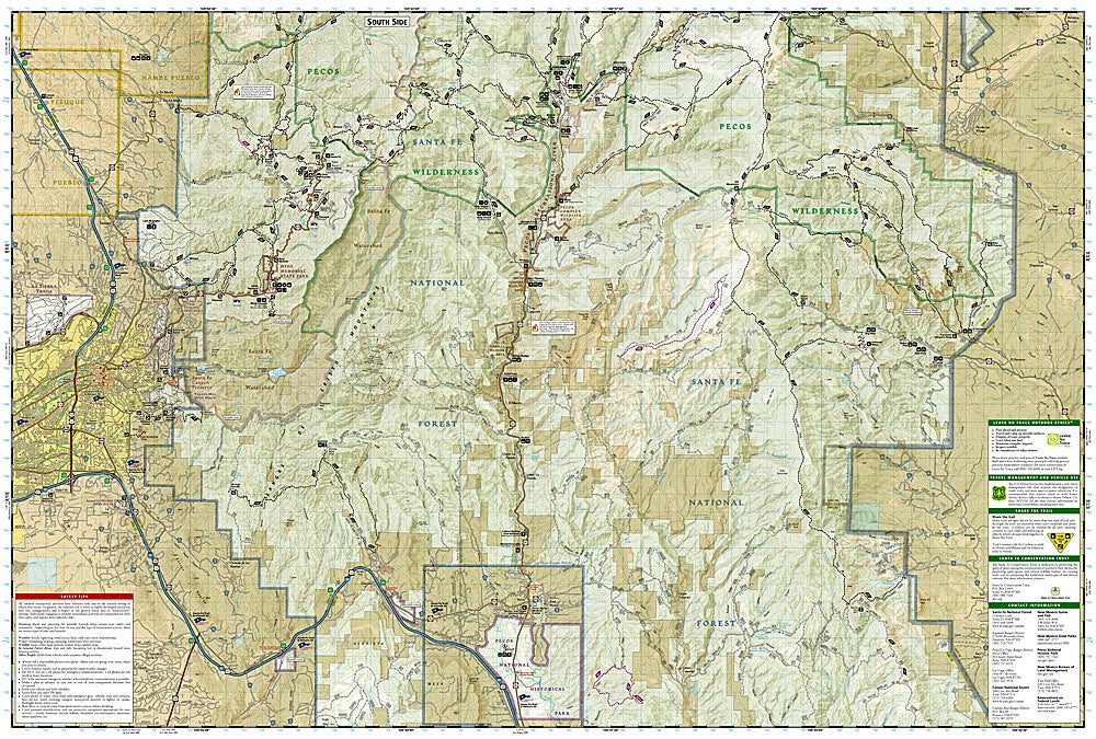
Lace up your boots and hit the high country—this is the must-have trail companion for exploring Santa Fe and the dramatic Truchas Peaks. The Santa Fe & Truchas Peak Trails Illustrated Topographic Map #731 by National Geographic is your ticket to the rugged beauty of northern New Mexico, where history, culture, and epic landscapes converge.
Discover the wild backcountry of Pecos Wilderness, trek the ridgelines toward Truchas Peak (the second highest in New Mexico), or wander through Hyde Memorial State Park with its pine forests and alpine meadows. History buffs will love tracing the routes of the Santa Fe Trail, the El Camino Real, and even sections of Historic Route 66—all mapped with detailed accuracy.
Packed with trail mileage, contour lines, and recreation symbols, this waterproof, tear-resistant map is built for adventure. Whether you’re backpacking, fishing, skiing, or road tripping scenic byways, this map keeps you on course and inspired.
SKU: SKU:TRA731
View full details