1
/
of
1
Green Trails
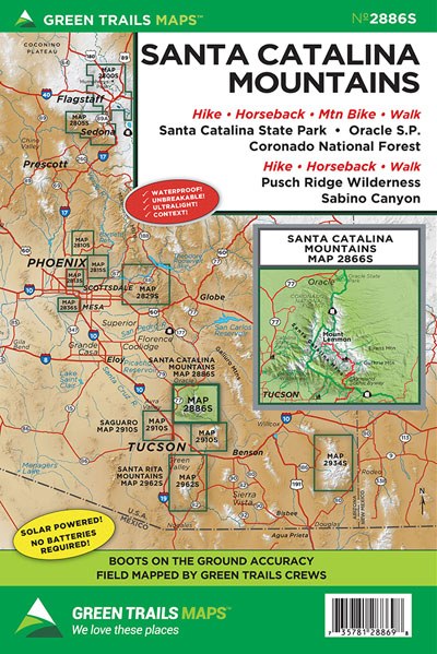
Santa Catalina Mountains, AZ- Green Trails Map GRE2886S
Santa Catalina Mountains, AZ- Green Trails Map GRE2886S
Regular price
$14.00 USD
Regular price
Sale price
$14.00 USD
Unit price
/
per
Couldn't load pickup availability
Share
Santa Catalina Mountains, AZ- Green Trails Map GRE2886S
Forming a prominent backdrop north of Tucson, the Santa Catalina Mountains contains a wide array of stunning topography from deep desert canyons to high broad summits exceeding 9000 feet. Map 2886S highlights the heart of the range consisting of 9,157-foot Mount Lemmon, the Sky Island Scenic Byway (Catalina Highway) and the 56,430-acre Pusch Ridge Wilderness Area. With this detailed map, plan family friendly strolls in Catalina and Oracle State parks along the Coronado National Forest periphery or in Sabino Canyon with its saguaro cactus, waterfalls and abundant and diverse wildlife. Hike through pine and aspen forests along the crest of the mountains savoring expansive views. And head off into remote canyons graced with pools and springs or along rugged ridges providing solitude in this popular recreation area in southern Arizona.
Map Scale 1:62,000 with 1:35,000 inset of Sky Island Scenic Byway
Map Scale 1:62,000 with 1:35,000 inset of Sky Island Scenic Byway
SKU: SKU:GRE2886S
View full details