NOAA
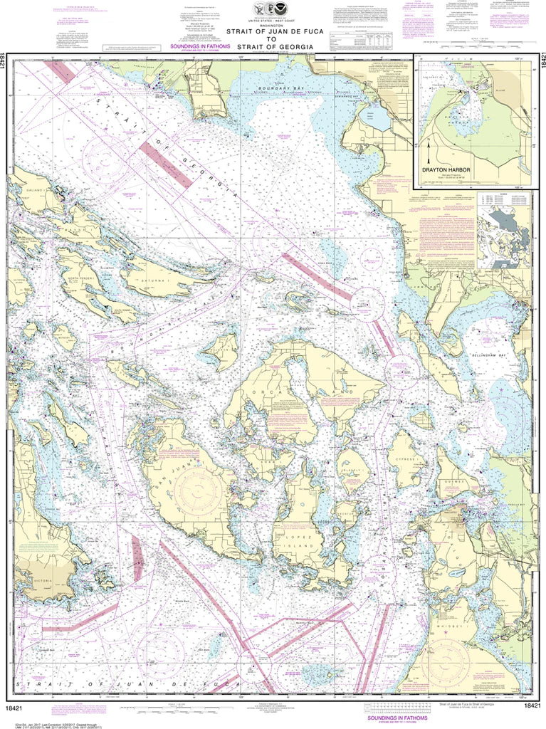
San Juan Islands Nautical Chart #18421
San Juan Islands Nautical Chart #18421
Couldn't load pickup availability
Share
Adventure begins the moment you unroll the San Juan Islands Nautical Chart #18421! Whether you're a sailor, cruiser, kayaker, or coastal explorer, this classic NOAA chart brings one of the Pacific Northwest's most spectacular boating destinations to life.
Officially titled Strait of Juan de Fuca to Strait of Georgia, this chart is the definitive nautical map for exploring the San Juan Islands and surrounding waters. It covers favorites including San Juan Island, Orcas Island, Lopez Island, Shaw Island, Victoria B.C., Haro Strait, Rosario Strait, the Strait of Juan de Fuca, and the Strait of Georgia.
Rich with soundings, navigation aids, shoreline detail, and coastal features, it's equally impressive displayed on a wall or used as a planning reference. Measuring 35" x 48" at a 1:80,000 scale, this chart delivers exceptional regional detail.
(View more detail in nautical chart viewer)
Please note: For decorative and reference purposes only, NOAA has officially sunset traditional paper nautical charts. These legacy charts are no longer updated or approved for primary navigation.
SKU: SKU:NOS18421
View full details