NOAA
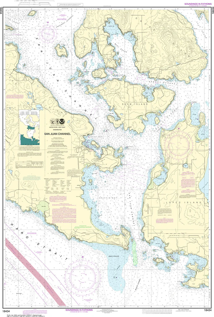
San Juan Channel Nautical Chart #18434
San Juan Channel Nautical Chart #18434
Couldn't load pickup availability
Share
Set your course through one of the Pacific Northwest's most spectacular waterways! The San Juan Channel Nautical Chart #18434 is the perfect blend of maritime history, coastal beauty, and classic nautical craftsmanship for sailors, boaters, collectors, and coastal enthusiasts alike.
Covering the heart of Washington's breathtaking San Juan Islands, this detailed NOAA chart features San Juan Channel, Friday Harbor, Shaw Island, Lopez Island, Orcas Island, Upright Channel, Haro Strait, and numerous scenic bays, coves, reefs, and passages that have welcomed mariners for centuries. At a detailed 1:25,000 scale and measuring an impressive 32" x 47", it beautifully showcases one of the busiest and most picturesque cruising grounds in the Pacific Northwest. The region is also famous for the 1859 Pig War, a remarkably peaceful international boundary dispute between the United States and Great Britain that unfolded on San Juan Island without a single battle.
(View more detail in nautical chart viewer)
Please note: For decorative and reference purposes only, NOAA has officially sunset traditional paper nautical charts. These legacy charts are no longer updated or approved for primary navigation.
SKU: SKU:NOS18434
View full details