Tom Harrison Maps
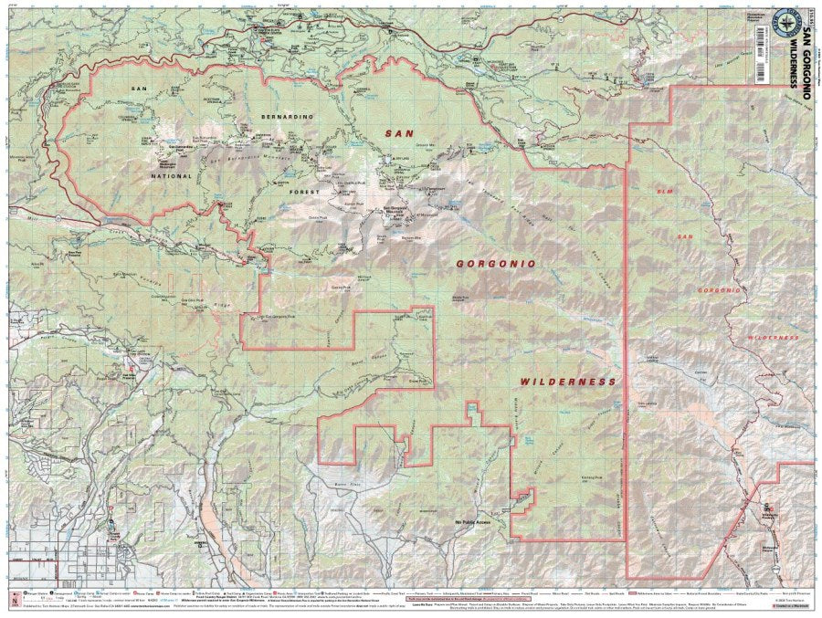
San Gorgonio Wilderness Hiking Map by Tom Harrison
San Gorgonio Wilderness Hiking Map by Tom Harrison
Couldn't load pickup availability
Share
Ready to conquer Southern California’s high country? The San Gorgonio Wilderness Hiking Map by Tom Harrison is your trail-tested companion to rugged peaks, alpine scenery, and unforgettable mountain adventures!
Centered around Southern California’s highest summit, San Gorgonio Mountain, this detailed hiking map helps you navigate an expansive wilderness of towering ridgelines, forested slopes, and pristine backcountry. Discover popular routes like the Vivian Creek Trail and South Fork Trail while exploring trailheads, access roads, designated trail camps, and elevation points. At a readable 1:42,240 scale with 80-foot contour intervals, this San Gorgonio Wilderness Hiking Map delivers essential details for planning challenging day hikes and overnight backpacking trips.
Keep an eye out for fragrant Jeffrey pines, white firs, and colorful wildflowers, plus mule deer, golden-mantled ground squirrels, and soaring mountain birds. You’ll also find campgrounds, ranger stations, equestrian facilities, Forest Service roads, and unique yellow-post dispersed camping sites.
Whether summiting San Gorgonio or wandering remote mountain trails, this Tom Harrison hiking map helps make every mile count!
SKU: SKU:HARSANGOR
View full details