1
/
of
1
MapTech
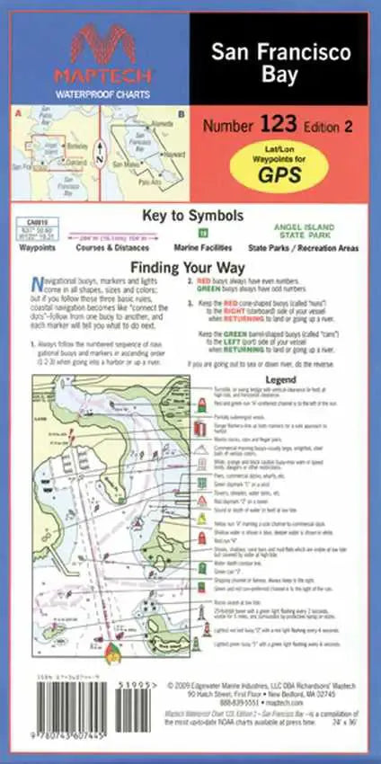
San Francisco Bay Nautical Chart
San Francisco Bay Nautical Chart
Regular price
$32.95 USD
Regular price
Sale price
$32.95 USD
Unit price
/
per
Couldn't load pickup availability
Share
Waterproof nautical chart of San Francisco Bay. Covers middle and southern San Francisco Bay from Richmond to Palo Alto including San Mateo, Alameda and Angel Island. Featuring GPS waypoints, pre-plotted courses and distances, 42 marine facilities with service information, state and federal parks. 24" x 36", scales 1:27,000 and 1:80,000 with insets.
SKU: SKU:MTCWPC123
View full details