National Forest Service
San Bernardino NF - San Jacinto Wilderness Forest Service Map
San Bernardino NF - San Jacinto Wilderness Forest Service Map
Couldn't load pickup availability
Share
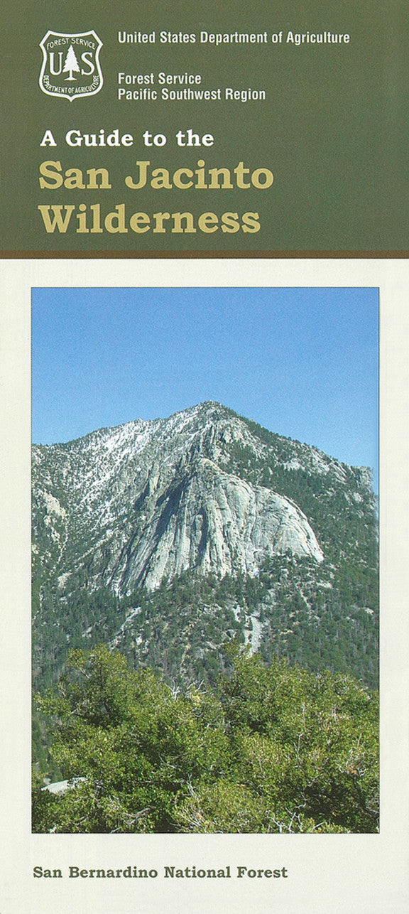
Discover the stunning beauty of Southern California’s high country with the San Jacinto Wilderness Forest Service Map. Located just west of Palm Springs in the rugged San Jacinto Mountains, this pristine wilderness spans over 32,000 acres of pine forests, granite peaks, and alpine meadows.
Hike to the summit of Mount San Jacinto (10,834 feet) via the Palm Springs Aerial Tramway, explore the scenic Devil’s Slide Trail, or marvel at panoramic views from Tahquitz Peak. The area is home to black bears, mule deer, and rare birds like the mountain chickadee, with forests of Jeffrey pine, white fir, and manzanita blanketing the slopes. Named a wilderness area in 1964, San Jacinto offers a rich history of conservation and outdoor recreation.
Whether you're a day hiker or backcountry adventurer, this detailed Forest Service map is your essential guide to one of California’s most captivating mountain escapes. Plan your journey today!
- Waterproof Map
- Topographic Lines with 100 ft Contour Interval
SKU: SKU:NFCASAJ
View full details