National Geographic
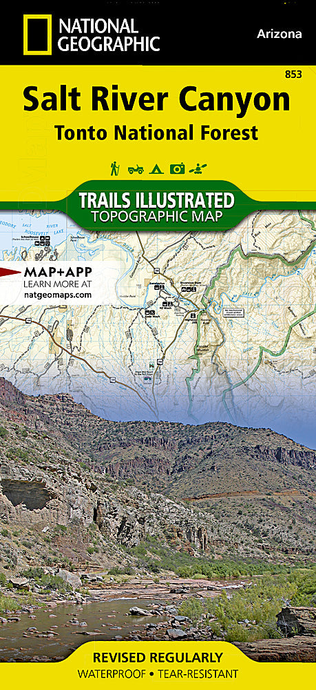
Salt River Canyon Trails Illustrated Topographic Map #853
Salt River Canyon Trails Illustrated Topographic Map #853
Couldn't load pickup availability
Share
Adventure awaits in Arizona’s “other Grand Canyon”! The Salt River Canyon Trails Illustrated Topographic Map #853 by National Geographic is your all-in-one pass to rugged desert hikes, roaring rapids, and jaw-dropping vistas just outside Phoenix. Known as the “mini Grand Canyon,” Salt River Canyon is a must-hike gem, offering whitewater thrills, canyon rim overlooks, and endless desert trails.
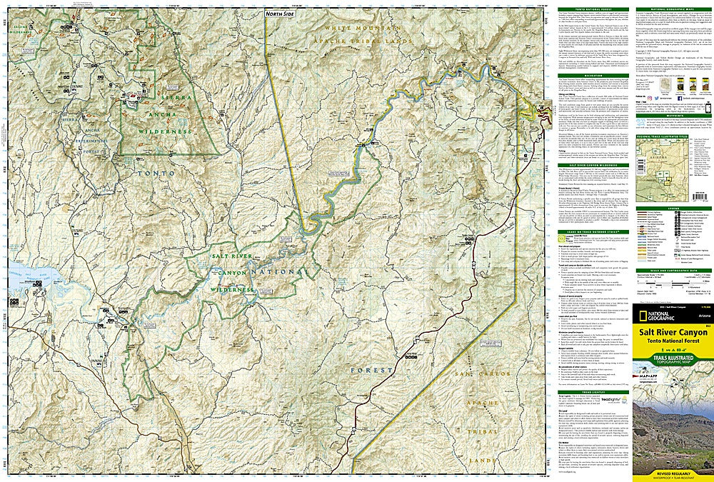
This waterproof, tear-resistant map covers over 50 miles of the Salt River, including river access points perfect for fishing, kayaking, and rafting. Trek through legendary landscapes like the Superstition Wilderness, Sierra Ancha Wilderness, and White Canyon Wilderness, each steeped in history—from ancient Salado cliff dwellings to trails once used by Apache tribes. Navigate like a pro with contour lines, labeled peaks, trail usage colors, GPS-ready UTM grids, and clear boundaries between national forest, wilderness, and tribal lands.
Whether you’re hiking, biking, or paddling, this map keeps adventure at your fingertips!
SKU: SKU:TRA853
View full details