National Geographic
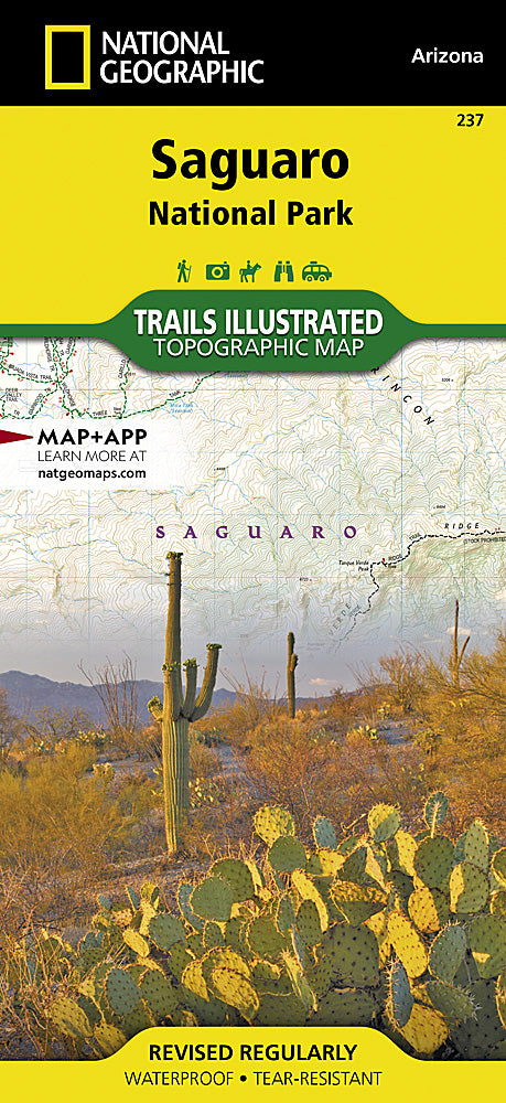
Saguaro National Park Trails Illustrated Topographic Map #237
Saguaro National Park Trails Illustrated Topographic Map #237
Couldn't load pickup availability
Share
Hit the trail with confidence—this is the only map you’ll want in your pack for exploring the wild beauty of Saguaro National Park! National Geographic’s Saguaro Trails Illustrated Topographic Map #237 covers both the eastern Rincon Mountain District and the western Tucson Mountain District, giving you a front-row seat to some of the Sonoran Desert’s most iconic landscapes. Trek past towering saguaro cacti, hike the rugged Tanque Verde Ridge, or explore ancient rock art along the Petroglyphs Trail.
The park, named for the giant saguaro that can live up to 200 years, preserves both desert lowlands and sky island mountain terrain just outside Tucson. This waterproof, tear-resistant map features shaded relief, elevations, mileage markers, and detailed trailhead info, making route planning easy. With recreation icons highlighting campgrounds, scenic drives, and picnic spots, it’s your ticket to desert adventure. Whether hiking, biking, or backpacking, this map keeps you on track and inspired.
SKU: SKU:TRA237
View full details