National Geographic
Russia Wall Map by National Geographic
Russia Wall Map by National Geographic
Couldn't load pickup availability
Share
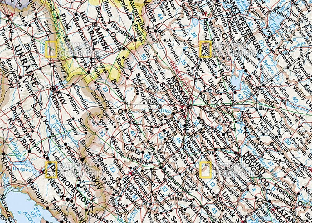
Discover the world’s largest country in stunning detail with the Russia Wall Map by National Geographic. Perfect for travelers, history buffs, and map lovers, this gorgeous wall map highlights Russia and the independent states of the former Soviet Union with rich colors, shaded relief terrain, and the hallmark accuracy that National Geographic is famous for. From the bustling streets of Moscow to the Siberian wilderness and the icy Northern Sea shipping routes, every detail is beautifully captured.
This map doesn’t stop at Russia—it also includes surrounding countries such as Ukraine, Finland, Mongolia, and even Japan, making it a fascinating look at the wider region. Thousands of place names, political boundaries, major railways, airports, pipelines, and waterways are clearly marked, making it both decorative and highly informative.
Sized at 30.25" x 23.5", and available in paper or laminated finishes, it’s ideal for classrooms, offices, or home walls.
SKU: SKU:NGSR
View full details