

SeaTrails
Rosario Straight & Bellingham Channel Paddling Map WA001
Rosario Straight & Bellingham Channel Paddling Map WA001
Couldn't load pickup availability
Share
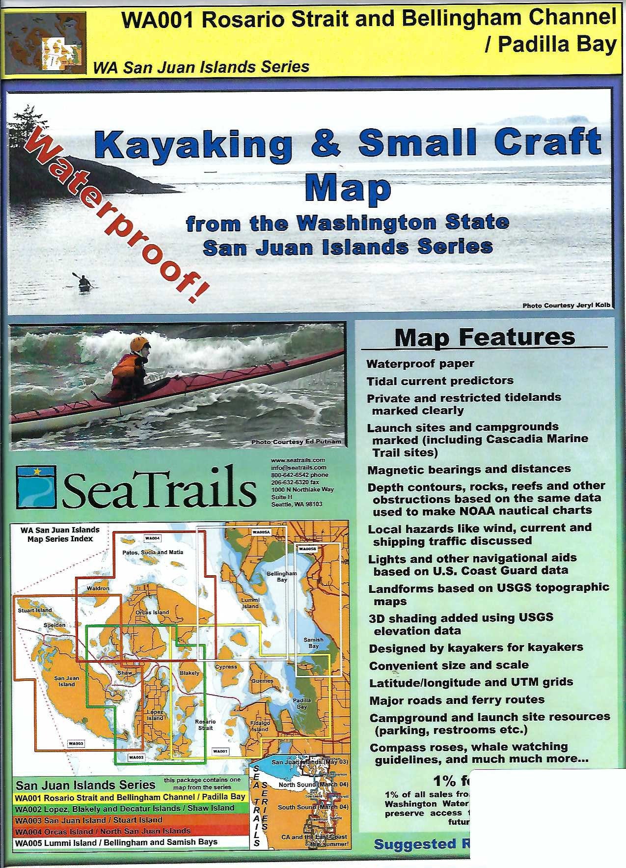
Discover the stunning beauty of the Rosario Strait & Bellingham Channel with SeaTrails’ Padilla Bay Kayaking Adventure Chart. Designed especially for sea kayakers, this waterproof, compact map is packed with essential info—from launch points and campgrounds to paddling hazards and ferry routes.
Explore the wildlife-rich waters of Padilla Bay, glide past the scenic cliffs of Cypress Island, or paddle through the calm inlets around Lummi Island. With shoreline distances and bearings included for select routes, planning your adventure is a breeze. You’ll also find light and buoy locations, rocks, reefs, and depth contours to keep your trip safe and smooth.
Whether you’re charting a day trip or a multi-day journey, this chart is the perfect paddling companion for navigating this iconic part of the Salish Sea.
SKU: SKU:SEAWA001
View full details