National Forest Service
Rogue River-Siskiyou NF - Wild Rivers Ranger District NFS Map
Rogue River-Siskiyou NF - Wild Rivers Ranger District NFS Map
Couldn't load pickup availability
Share
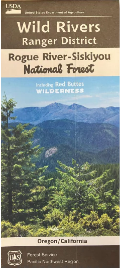
The Wild Rivers Ranger District Forest Service Map of the Rogue River - Siskiyou National Forest is located in southwestern Oregon straddling the border extending into California. Primitive camping and hiking is available throughout the region. A river of note is the Illinois River which is a remote river with rapids up to class IV and V, offering a treasurable trip for those who have river experience.
This two sided map has topographical information, forest roads, trailhead and camping information. One side of the map shows from Grants Pass to the Brushy Bar Ranger station and down to the Deep Gorge trailhead of the Illinois River. The flip side of the map picks up the Chetco Wild and Scenic River in the Kalmiopsis Wilderness as well as the Red Buttes Wilderness and the upper reaches of the Smith River, with the town of Cave Junction in the center of the map.
- 1" = 1 mile
- Topographic Contour Interval 100 ft
- 48" x 36" when unfolded
SKU: SKU:NFORWILDRD
View full details