National Forest Service
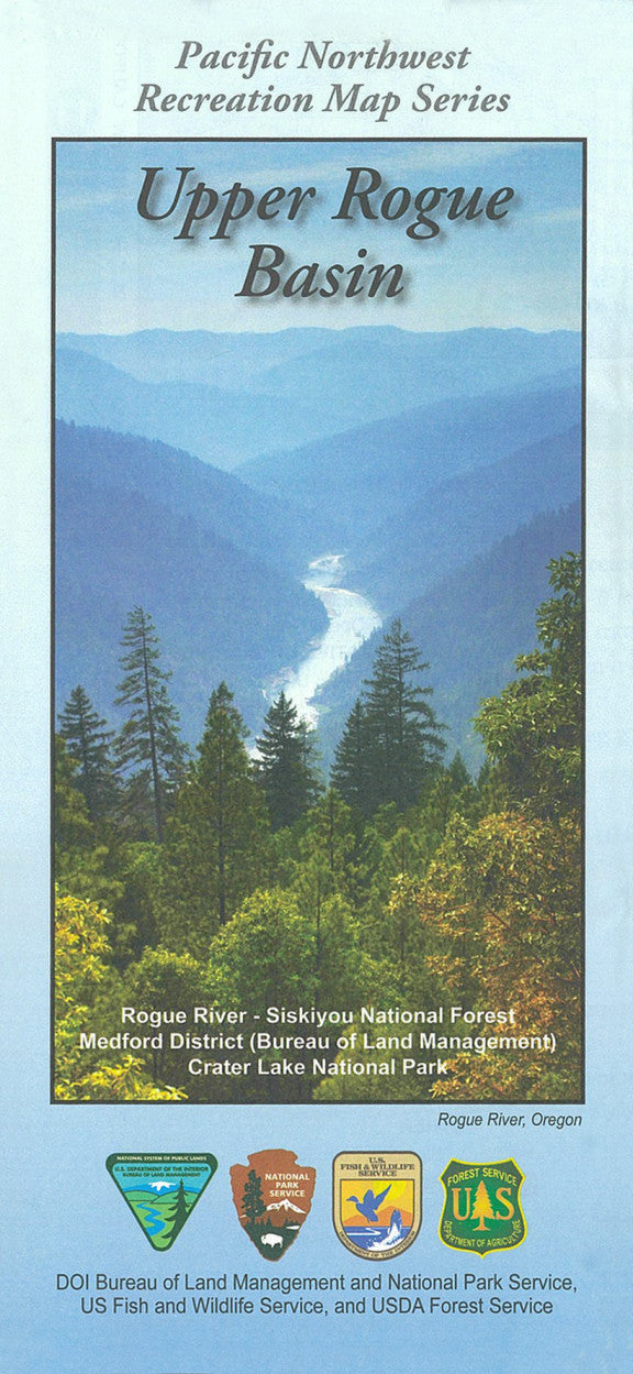
Rogue River-Siskiyou NF - Upper Rogue Basin Recreation NFS Map
Rogue River-Siskiyou NF - Upper Rogue Basin Recreation NFS Map
Couldn't load pickup availability
Share
Discover the natural wonders of southern Oregon with the Upper Rogue Basin Recreation Map from the Pacific Northwest Recreation Map Series. Centered around the stunning Rogue River-Siskiyou National Forest, this waterproof, topographic map guides adventurers through over 1.8 million acres of forests, rivers, and volcanic landscapes.
Explore top attractions like Crater Lake National Park, Natural Bridge, and Mill Creek Falls. Hike through Douglas fir and ponderosa pine forests, and keep an eye out for black-tailed deer, osprey, and even elusive black bears. Rich in history, the region was once home to Takelma and Latgawa tribes and later explored during the Gold Rush era. Located in southwestern Oregon, just east of Medford, the Upper Rogue Basin offers unforgettable hiking, biking, paddling, and camping adventures.
Whether you're a weekend wanderer or a backcountry explorer, this map is your key to unlocking the beauty of one of Oregon's most beloved outdoor destinations.
SKU: SKU:NFORURB
View full details


