1
/
of
2
National Geographic
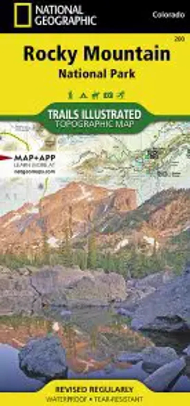
Rocky Mountain National Park
Rocky Mountain National Park
Regular price
$14.95 USD
Regular price
Sale price
$14.95 USD
Unit price
/
per
Couldn't load pickup availability
Share
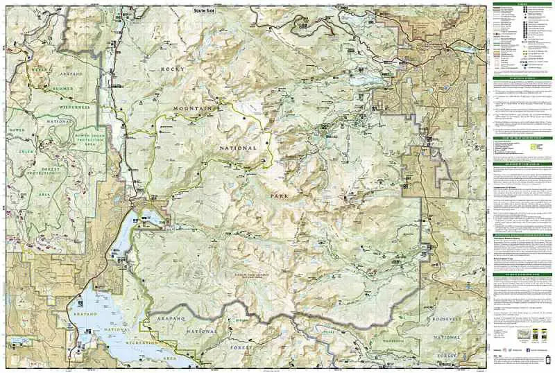
Trails Illustrated makes this topographic waterproof map with coverage of the Rocky Mountain National Park, Arapaho and Roosevelt National Forest, Never Summer Wilderness, Arapaho National Recreation Area, and the cities of Granby and Estes Park. Easy-to-read trail mileage and markers, hiking-only and hike and horse trails are easily distinguished, Federal, State and Private lands are clearly marked, the Continental Divide Trail is highlighted, and the map is keyed to the updated Rocky Mountain National Park Dayhiker's Guide. The map's shaded relief makes it easy to see the lay-of-the-land, and it has a full UTM grid so you can use it with your GPS.
Articles