Rand McNally
Road Atlas USA Spiral Bound & Large Scale
Road Atlas USA Spiral Bound & Large Scale
Couldn't load pickup availability
Share
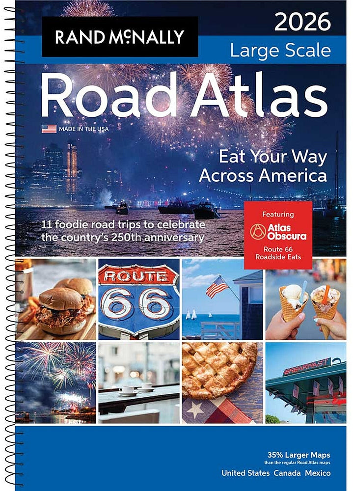
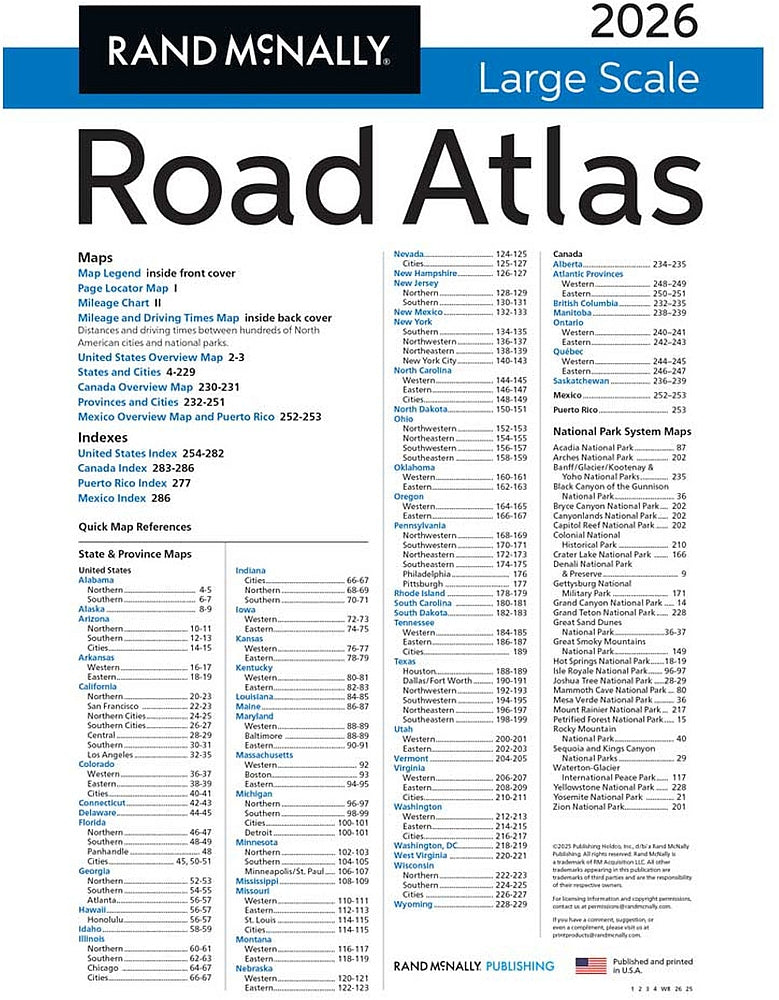
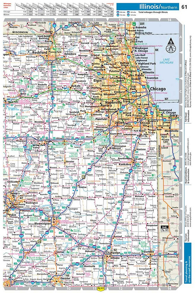
Ready to hit the road in 2026? The Rand McNally Large Scale Road Atlas is your perfect co-pilot for every mile. With 35% larger maps, this easy-to-read, 10.5" x 15.5" road atlas gives you detailed coverage of all 50 states, every Canadian province, and even a peek at Mexico.
Plan smarter with updated travel resources, driving distances, and helpful details on tolls, construction, and tourism for every state and province. Need to find a city fast? Use the page locator map to jump to one of 375 city insets or 28 national park maps.
Whether you’re plotting a cross-country adventure or just trying to find the scenic route, this spiral-bound, lay-flat atlas makes navigating a breeze. Trusted for over a century by road trippers and travel pros, this atlas isn’t just a map—it's your ticket to exploration. Buckle up, turn the page, and discover what’s waiting down the road.
SKU: SKU:RMCAUL2026
View full details