International Travel Maps
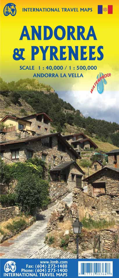
Pyrenees & Andorra Travel Map by ITMB
Pyrenees & Andorra Travel Map by ITMB
Couldn't load pickup availability
Share
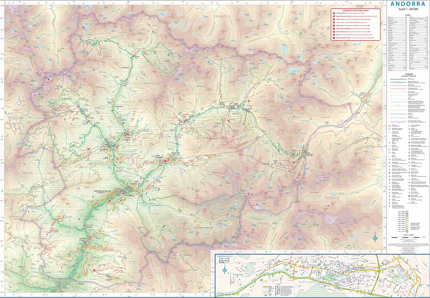
Ready to explore one of Europe's most captivating hidden corners? ITMB’s double-sided Pyrenees & Andorra Travel & Reference Map delivers adventure at your fingertips. With scales of 1:40,000 for Andorra and 1:500,000 for the full Pyrenees range, this map takes you from the buzzing boutiques of Andorra la Vella to the snowy slopes of Grandvalira, one of Europe’s top ski resorts. When summer arrives, trade your skis for shopping bags—Andorra’s duty-free deals are legendary.
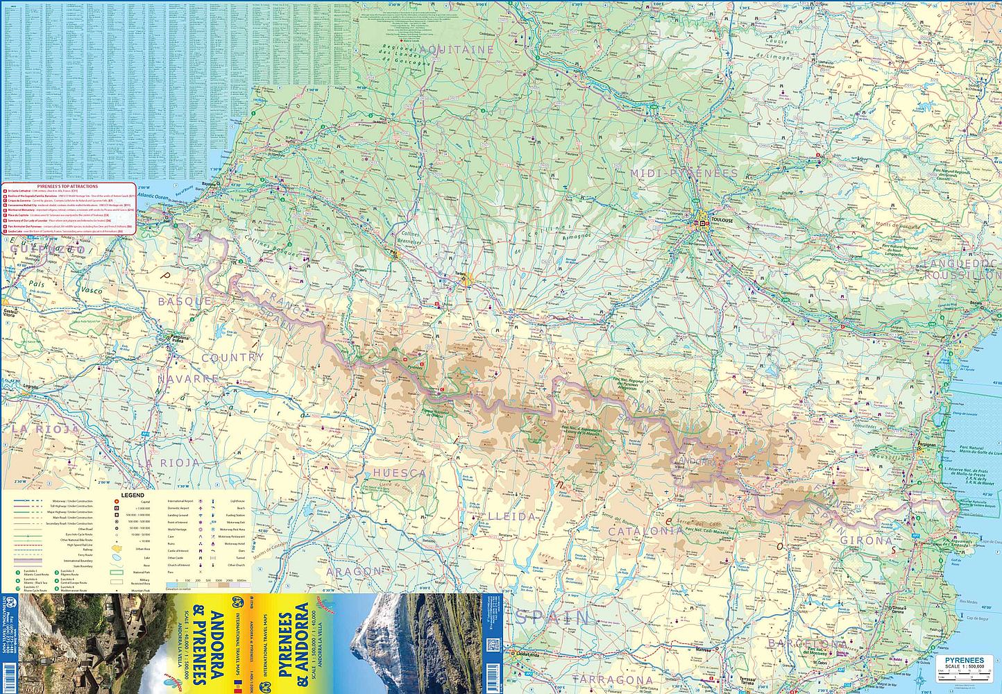
On one side, dive deep into the winding roads, dramatic valleys, and alpine villages of the high-altitude haven of Andorra. Flip it over and journey the length of the Pyrenees, stretching from the Atlantic charm of Bayonne to the Mediterranean vibes of Perpignan. Spot famed peaks, trace the rugged trails of Ordesa y Monte Perdido National Park, and discover the curious Spanish enclave of Llivia—entirely surrounded by France.
Packed with practical details—highways, national parks, airports, rivers, and more—this 27" x 39" map is your perfect travel companion, whether you're carving down snowy slopes or winding your way through mountain passes. Europe’s edge has never felt so close.
SKU: SKU:ITMPYRENEES
View full details