NOAA
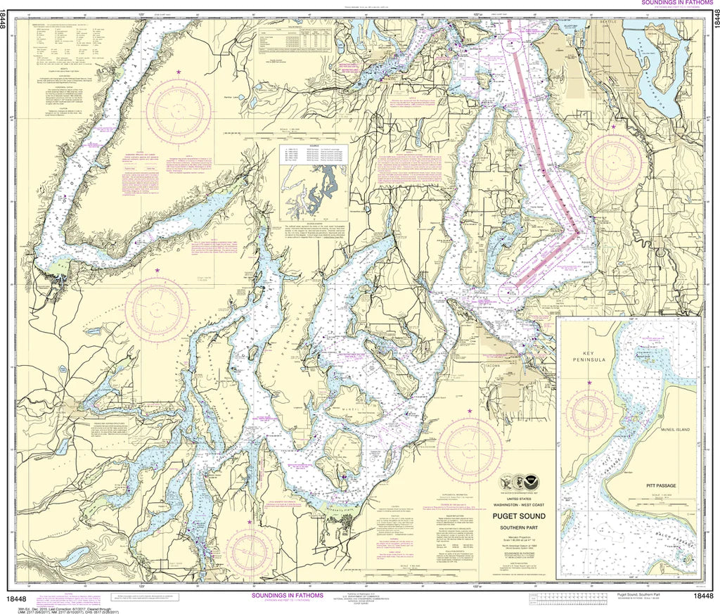
Puget Sound (Southern Part) Nautical Chart #18448
Puget Sound (Southern Part) Nautical Chart #18448
Couldn't load pickup availability
Share
Chart a course through one of the Pacific Northwest's most captivating waterways with the Puget Sound (Southern Part) Nautical Chart #18448! Whether you're a sailor, coastal explorer, history enthusiast, or collector, this classic chart is a stunning way to bring the beauty of Washington's inland waters to life.
Covering the southern reaches of Puget Sound at a 1:80,000 scale, this impressive 41" x 35" nautical chart features legendary cruising grounds including Tacoma, Gig Harbor, Commencement Bay, Case Inlet, Carr Inlet, Nisqually Reach, Budd Inlet, and Olympia, the state's capital. The region is famous for its sheltered anchorages, scenic shorelines, abundant marine wildlife, and countless islands that make every voyage memorable.
Historically, these waters became a vital transportation corridor during the 1800s, helping fuel the growth of Washington's timber industry and connecting early settlements throughout the Sound.
(View more detail in nautical chart viewer)
Please note: For decorative and reference purposes only, NOAA has officially sunset traditional paper nautical charts. These legacy charts are no longer updated or approved for primary navigation.
SKU: SKU:NOS18448
View full details