1
/
of
1
NOAA
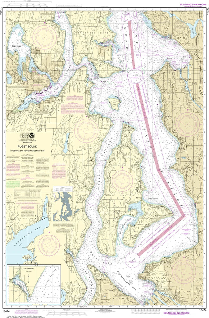
Puget Sound (Shilshole Bay to Commencement Bay) Nautical Chart #18474
Puget Sound (Shilshole Bay to Commencement Bay) Nautical Chart #18474
Regular price
$26.95 USD
Regular price
Sale price
$26.95 USD
Unit price
/
per
Couldn't load pickup availability
Share
From Shilshole Bay’s bustling marinas to the working waterfront of Commencement Bay, this Puget Sound Nautical Chart #18474 puts Washington’s most iconic inland sea in your hands. Zoom through Seattle’s shoreline, the Ballard Locks gateway, Bainbridge crossings, and the deep industrial harbors of Tacoma with crisp hydrographic detail at every turn.
Covering key passages of central Puget Sound, it highlights navigation-rich waters, ferry routes, anchorages, and shoreline landmarks that define this active maritime corridor. Historically, these waters were charted during George Vancouver’s 1792 expedition and named for Lieutenant Peter Puget, forming the backbone of today’s Salish Sea maritime trade.
Printed at 33" x 49" with a 1:40,000 scale, it delivers an authoritative, large-format reference for mariners, boaters, and coastal explorers alike. Includes coverage of Shilshole Bay approaches, Elliott Bay connections, Vashon Island channels, and the Tacoma Narrows region, making it ideal for planning trips, studying currents, and appreciating the rich maritime geography of southern Puget Sound.
(View more detail in nautical chart viewer)
Please note: For decorative and reference purposes only, NOAA has officially sunset traditional paper nautical charts. These legacy charts are no longer updated or approved for primary navigation.
SKU: SKU:NOS18474
View full details