NOAA
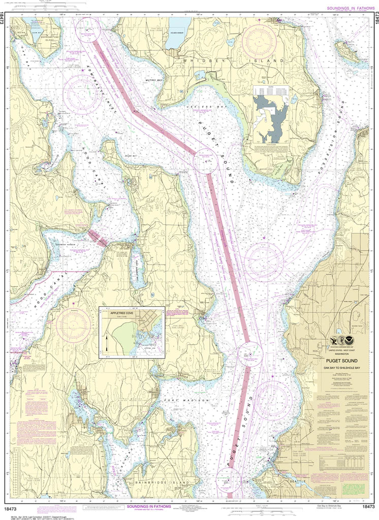
Puget Sound (Oak Bay to Shilshole Bay) Nautical Chart #18473
Puget Sound (Oak Bay to Shilshole Bay) Nautical Chart #18473
Couldn't load pickup availability
Share
Chart the wild waters of Puget Sound from Shilshole Bay to Oak Bay—where islands, channels, and tidal currents collide in stunning detail. This Puget Sound Nautical Chart #18473 spans Seattle’s Shilshole Bay north through Possession Sound, past Bainbridge Island, the Kitsap Peninsula, and up toward the mid-Whidbey Island reaches.
At a detailed 1:40,000 scale and a large 35" x 47" format, it reveals navigational passages, ferry routes, and historic maritime corridors of the Salish Sea first charted by explorers in 1792. See Liberty Bay and Poulsbo, Hood Canal’s entrance, and the intricate waterways linking Seattle to the San Juan approaches. A must-have reference for boaters, collectors, and Pacific Northwest explorers seeking both practical detail and a striking wall-worthy depiction of this iconic maritime region today.
(View more detail in nautical chart viewer)
Please note: For decorative and reference purposes only, NOAA has officially sunset traditional paper nautical charts. These legacy charts are no longer updated or approved for primary navigation.
SKU: SKU:NOS18473
View full details