NOAA
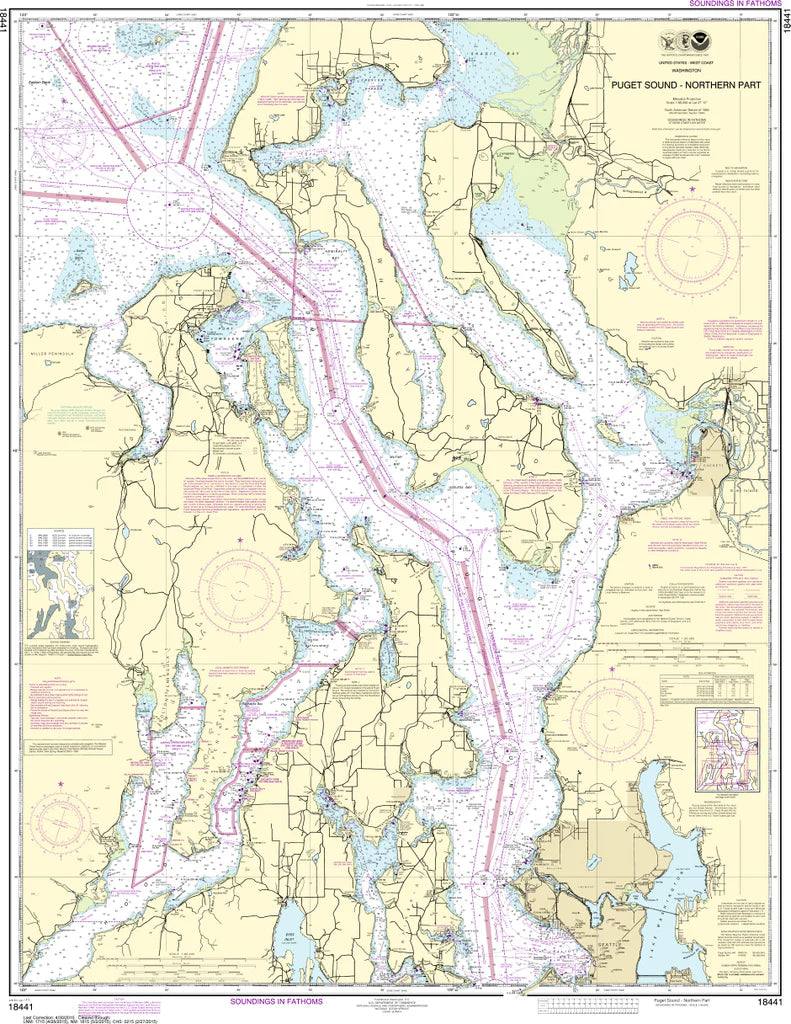
Puget Sound (Northern Part) Nautical Chart #18441
Puget Sound (Northern Part) Nautical Chart #18441
Couldn't load pickup availability
Share
Adventure begins where the tides meet the mountains! Explore the breathtaking waterways of the Pacific Northwest with the Puget Sound (Northern Part) Nautical Chart #18441, a timeless chart that belongs in every boater's collection.
Covering the northern reaches of Puget Sound at a detailed 1:80,000 scale, this impressive 35" x 45" nautical chart features legendary cruising grounds including Admiralty Inlet, Whidbey Island, Camano Island, Port Townsend, Possession Sound, Saratoga Passage, and the approaches toward the San Juan Islands. Whether you're dreaming of weekend cruises, tracing historic shipping routes, or decorating a waterfront home or office, this chart captures one of America's most scenic maritime regions.
The waters shown played a pivotal role in the exploration of the Pacific Northwest, including the 1792 expedition of Captain George Vancouver, whose surveys helped map the region with remarkable accuracy. Rich with coastal detail, navigation aids, shorelines, and water depths, it's a favorite for sailors, history buffs, and chart collectors alike.
(View more detail in nautical chart viewer)
Please note: For decorative and reference purposes only, NOAA has officially sunset traditional paper nautical charts. These legacy charts are no longer updated or approved for primary navigation.
SKU: SKU:NOS18441
View full details