1
/
of
1
Kroll Map Company
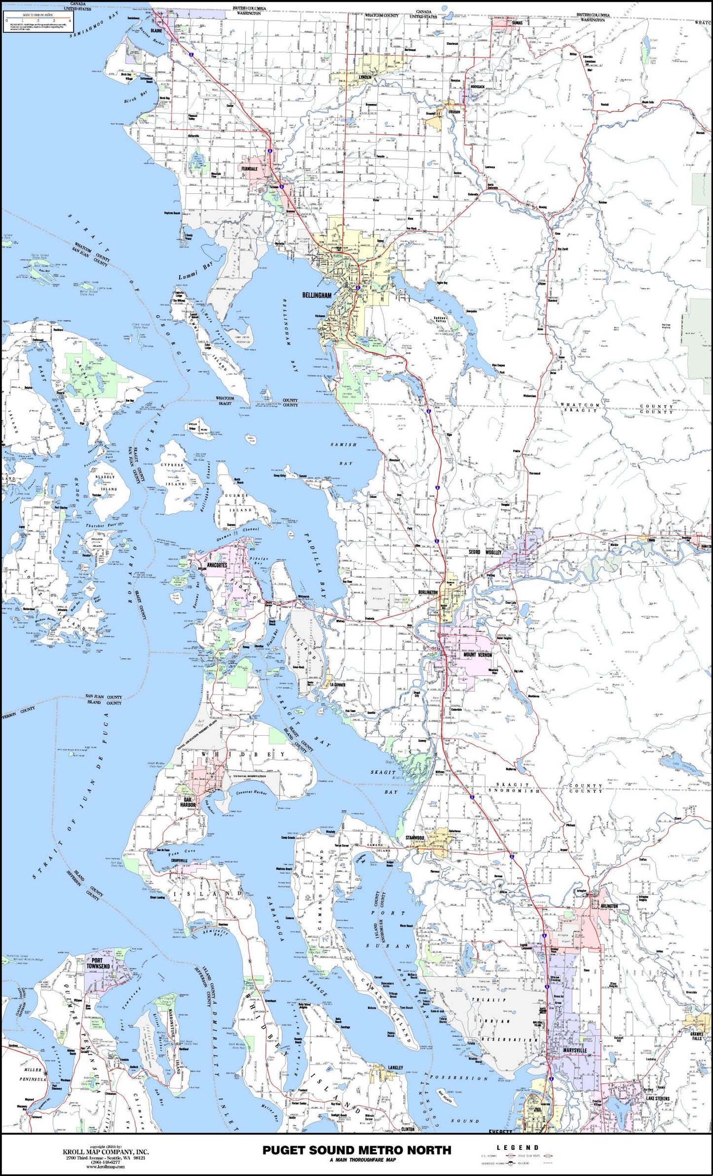
Puget Sound North Arterial Map
Puget Sound North Arterial Map
Regular price
$19.95 USD
Regular price
Sale price
$19.95 USD
Unit price
/
per
Couldn't load pickup availability
Share
These arterial maps provide a detailed overview of the main thoroughfares, cities, highways, interstates, unincorporated place names, parks, golf courses, and much more. Careful text placement and an attractive color scheme only enhance the accuracy of these maps from local publisher, Kroll Map Company. This map covers from the Canadian border to Marysville, and from Orcas Island to the Mt Baker Snoqualmie Nat'l Forest.
It works well as a northern extension of the Kroll Puget Sound Arterial map. There is some overlap between the two maps, but this one picks up the northern region to the Canadian border.
SKU: SKU:KROMN
View full details