

1
/
of
1
MapTech
Puget Sound Chartbook
Puget Sound Chartbook
Regular price
$79.95 USD
Regular price
Sale price
$79.95 USD
Unit price
/
per
Couldn't load pickup availability
Share
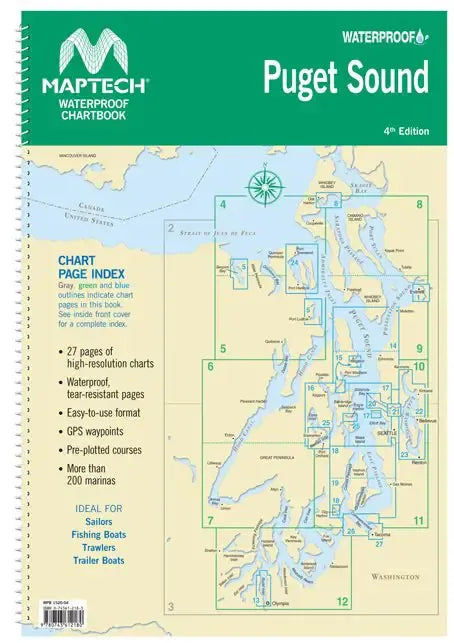
This detailed collection of navigation charts of Puget Sound are based on the NOAA Charts, but have enhanced features. They may be used for navigation. Features of the Puget Sound Chart Book include:
- lat/long read outs of navigational aids
- yeoman reference points on charts
- magnetic courses with distances in nautical miles
- compass rose with annual increase in variation
- aerial photos of harbors and anchorages
Coverage: Puget Sound - Olympia to Admiralty Inlet, including Lake Washington, 25 pages. Various scales from 1:33,000 to 1:107,000.
Spiral bound and waterproof!
SKU: SKU:MTCWPCPS
View full details