National Forest Service
Plumas National Forest Service Map
Plumas National Forest Service Map
Couldn't load pickup availability
Share
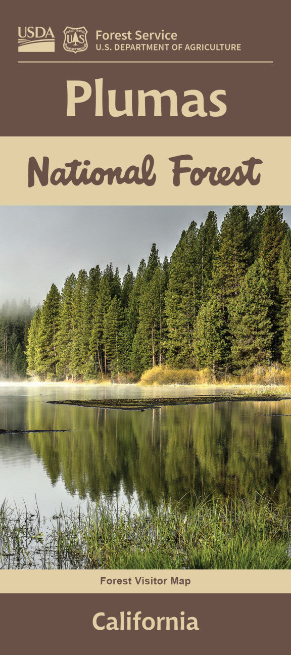
Discover the natural splendor of Northern California with the Plumas National Forest Service Map—your gateway to 1.2 million acres of rugged beauty in the northern Sierra Nevada. Located just east of the Sacramento Valley, this historic forest—established in 1905—is home to towering ponderosa pines, vibrant dogwoods, and elusive wildlife like black bears, bobcats, and bald eagles.
Explore scenic gems like Bucks Lake, Feather Falls (one of the tallest in California), and the Lakes Basin Recreation Area. Whether you're hiking, fishing, camping, or just soaking in mountain views, this detailed map is your essential guide.
With miles of trails and backroads, it’s perfect for outdoor enthusiasts of all kinds. Plan your next adventure in this untamed wilderness and experience the breathtaking tranquility of Plumas National Forest for yourself!
- Waterproof Map
- 1" to the Mile
SKU: SKU:NFCAPL
View full details