National Forest Service
Plumas National Forest - Middle Fork Feather River Forest Service Map
Plumas National Forest - Middle Fork Feather River Forest Service Map
Couldn't load pickup availability
Share
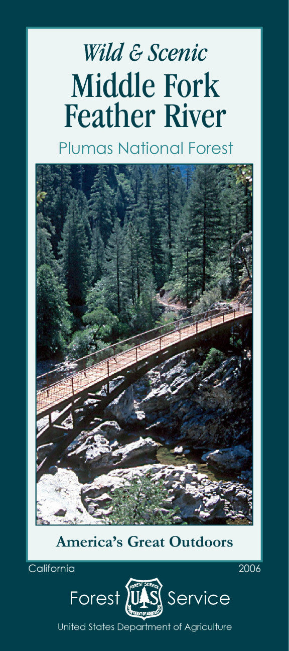
The Wild & Scenic Middle Fork Feather River National Forest Service Map is your gateway to one of Northern California’s wildest and most beautiful regions. Centered in Plumas National Forest at a scale of 1:126,720, this map guides you to top attractions like the dramatic Feather River Canyon, the granite expanse of Bald Rock Dome, and the peaceful Middle Fork Feather River itself—one of the nation’s first Wild & Scenic Rivers.
Explore forests filled with sugar pine, Douglas fir, and vibrant wildflowers while keeping an eye out for black bears, mule deer, and trout-filled pools. The area’s deep canyons and ridgelines hold centuries of history, once home to the Indigenous Maidu people and later a corridor for early mining and railroad routes.
Whether you’re planning to hike, fish, paddle, or simply experience authentic Sierra Nevada wilderness, this map makes visiting the region easy, inspiring, and unforgettable.
SKU: SKU:NFCAMIDFF
View full details