National Geographic
Pinnacles National Park Trails Illustrated Topographic Map #270
Pinnacles National Park Trails Illustrated Topographic Map #270
Couldn't load pickup availability
Share
Discover towering lava spires, twisty talus caves, and wild California backcountry with the Pinnacles National Park Trails Illustrated Topographic Map #270! Your next unforgettable hike starts here—with rugged trails, jaw-dropping rock formations, and adventure around every bend.
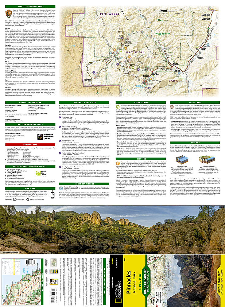
Designed for hikers, climbers, and outdoor explorers, this waterproof, tear-resistant topographic map helps you navigate Pinnacles National Park’s dramatic terrain in central California, east of the Salinas Valley. Find your way to iconic High Peaks, explore the fascinating Bear Gulch Caves, and take in spectacular scenery around the towering Pinnacle Rocks. A detailed inset map highlights trails and recreation opportunities in the Pinnacle Rocks area, while clearly marked trailheads, campgrounds, picnic areas, and scenic viewpoints help you plan your next outing.
Pinnacles’ extraordinary landscape tells a story millions of years in the making, shaped by volcanic activity and the movement of tectonic plates. First designated a national monument in 1908, this remarkable destination became a national park in 2013. Today, its rugged canyons and chaparral-covered hills offer incredible opportunities for hiking, birdwatching, rock climbing, and stargazing.
With elevation contours and a UTM grid for GPS navigation, this Backcountry Tough map is ready for the trail!
SKU: SKU:TRA0270
View full details