International Travel Maps
Philippines Travel Map
Philippines Travel Map
Couldn't load pickup availability
Share
The Philippines Travel Map ITMB is a comprehensive and indispensable companion for explorers venturing into the enchanting archipelago of the Philippines. Unfold the 27" x 39" map to embark on a visual journey across this diverse nation, where each fold reveals a treasure trove of information.
Side 1 of the Philippines Travel Map is dedicated to Luzon, the largest island, and the bustling heart of Manila, the capital city. The entire expanse of Luzon is meticulously detailed, allowing travelers to navigate its diverse landscapes with ease. Immerse yourself in the urban sprawl of Manila using the detailed street map inset on side 1, making every excursion through the capital a seamless experience.
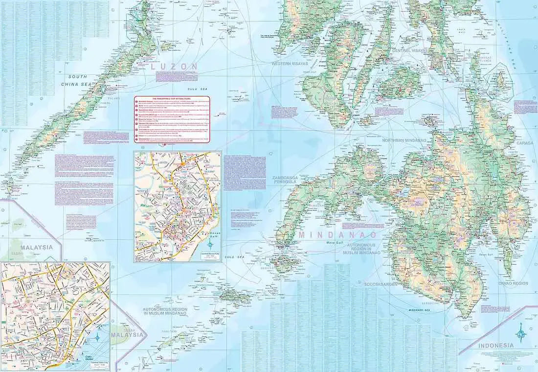
Side 2 invites you to explore the southern half of the Philippines, dominated the sprawling island of Mindanao. This side features inset maps of two prominent cities, Cebu and Davao, offering a closer look at their unique charm and attractions. Marvel at the scenic beauty of Palawan, nestled in the upper left of side 2, an island renowned for its breathtaking landscapes.
As you unfold the Philippines Travel Map, intricate ferry routes crisscrossing between the islands come into focus. These vital transportation connections are essential for travelers seeking to traverse the archipelago efficiently. The map doesn't just guide you from one destination to another—it paints a vivid picture of the interconnectedness of these islands, illustrating the vibrant tapestry of the Philippines.
Major touristic attractions are clearly marked, allowing you to plan your itinerary and make the most of your Philippine adventure. Whether you're drawn to historical landmarks, pristine beaches, or vibrant urban centers, the Philippines Travel Map ensures you won't miss a beat.
SKU: SKU:ITMPHI
View full details