
International Travel Maps
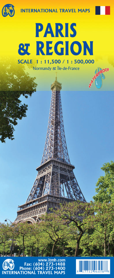
Paris & Region Travel & Reference Map by ITMB
Paris & Region Travel & Reference Map by ITMB
Couldn't load pickup availability
Share
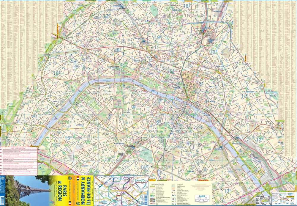
Paris is endlessly captivating, and this double-sided, folded Paris & Region Travel & Reference Map by ITMB puts the magic of the city and its surrounding region right in your hands. Side 1 zooms into the heart of Paris with a detailed street map of the area within the former city walls, showing all Metro and rail lines with stations. Explore iconic sights like the Louvre, Notre-Dame Cathedral, and the newly transformed pedestrian enclave in the 3rd Arrondissement. Hotels, major museums, and public buildings are clearly marked, making it easy to plan your day.
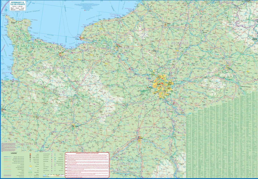
Flip the map to discover the wider Paris region, including Normandy and Picardy, perfect for day trips to Rouen, Orleans, or Reims. Tour grand chateaux like Chambord, Blois, and Fontainebleau, wander through historic cathedral cities such as Chartres and Senlis, and immerse yourself in centuries of French history. The back cover features a central Paris Metro network for quick reference. With a scale of 1:11,500 for the city and 1:500,000 for the region, plus a complete legend of roads, rivers, airports, parks, and points of interest, this 27" x 39" map is an essential companion for exploring Paris and beyond.
SKU: SKU:ITMPARIS
View full details