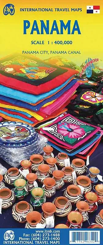
International Travel Maps
Panama Travel Map
Panama Travel Map
Couldn't load pickup availability
Share
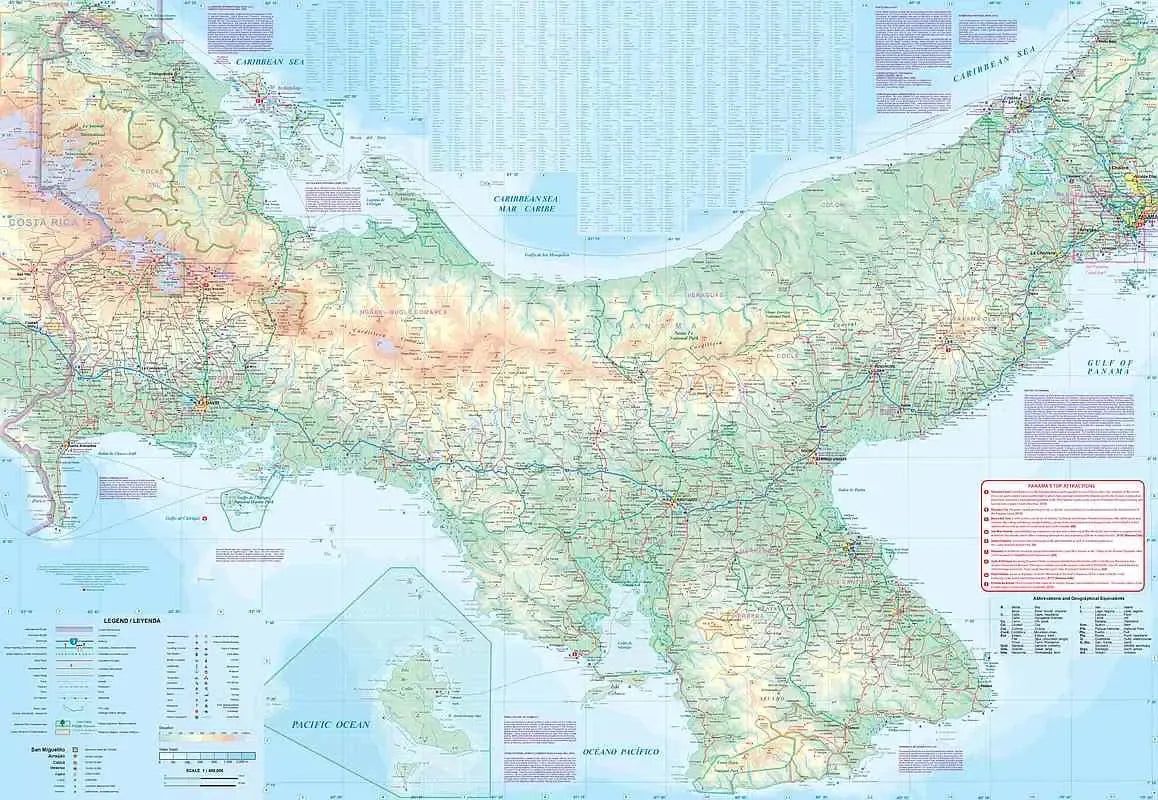
Side one spans from the Costa Rican border to the world-renowned Panama Canal, highlighting key destinations such as Boquete, a charming mountain town known for its coffee plantations and outdoor adventures, and Santa Fe, a hidden gem nestled in the highlands, perfect for eco-tourism and hiking. Major roads, national parks, and points of interest are clearly marked, ensuring ease of navigation.
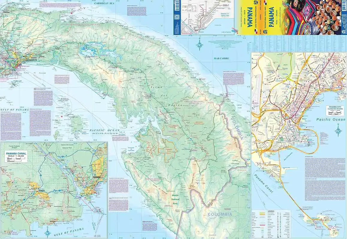
Side two continues eastward from the Canal to the border with Colombia, covering the Darién Gap’s rugged terrain. A detailed inset map of the Panama Canal showcases the iconic Miraflores Locks, a must-see engineering marvel, while a street map of central Panama City highlights its historic Casco Viejo district and the city’s expanding Metro system. The newly improved causeway to the offshore islands is also featured, making it easier for travelers to access these scenic retreats.
Designed for both practicality and exploration, this 27" x 39" map includes a comprehensive legend detailing roads classification, rivers, lakes, airports, and national parks. Whether trekking through cloud forests, navigating bustling city streets, or marveling at the grandeur of the Canal, this map is an indispensable companion for discovering Panama’s many treasures.
SKU: SKU:ITMPAN
View full details