1
/
of
1
National Forest Service
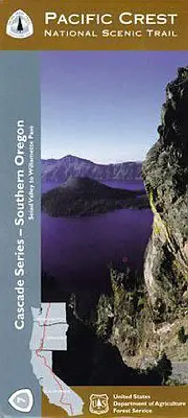
Pacific Crest Trail Oregon Map - Section 7: Southern Oregon
Pacific Crest Trail Oregon Map - Section 7: Southern Oregon
Regular price
$19.95 USD
Regular price
Sale price
$19.95 USD
Unit price
/
per
Couldn't load pickup availability
Share
Explore the Pacific Crest National Scenic Trail like never before with Forest Service Map 7 of 10: Southern Oregon. This unique topographic trail map focuses on a narrow corridor—just the PCT and two miles to either side—giving you a hiker’s-eye view of the landscape.
Discover iconic destinations like Crater Lake National Park, Mount McLoughlin, and the Sky Lakes Wilderness. The map’s detailed elevation profiles help you plan every climb and descent, while the 1" = 1 mile scale keeps navigation precise. You'll pass through forests filled with Douglas fir, ponderosa pine, and wildflower meadows buzzing with hummingbirds and butterflies. Watch for black-tailed deer, osprey, and the occasional black bear. Rooted in the 1930s vision of a continuous west coast trail, this region showcases the rugged beauty of southwestern Oregon.
Whether you're section-hiking or thru-hiking, this waterproof, contour-rich map is your essential adventure tool. Lace up your boots and experience the PCT!
SKU: SKU:NFORPS
View full details