National Forest Service
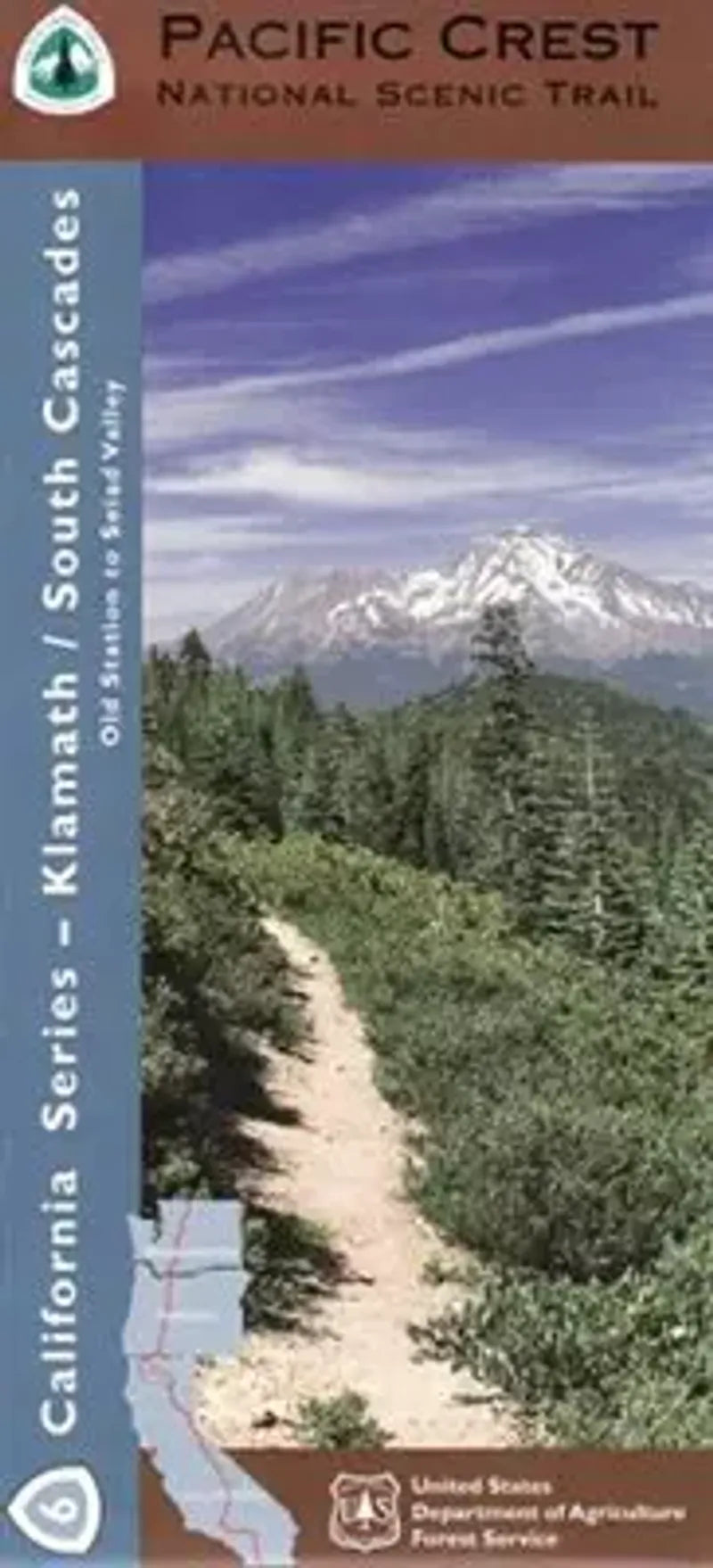
Pacific Crest Trail California Map - Section 6: Southern Cascades
Pacific Crest Trail California Map - Section 6: Southern Cascades
Couldn't load pickup availability
Share
Explore the wild beauty of southern Oregon and northern California with the Pacific Crest National Scenic Trail - Klamath/South Cascades Forest Service Map (Map 6 of 10). This waterproof, topographic map covers a spectacular section of the PCT through the Klamath Mountains and southern Cascades, including highlights like Mount McLoughlin, Sky Lakes Wilderness, and the serene Soda Mountain Wilderness.
Hike through ancient conifer forests filled with Douglas fir and incense cedar, and keep an eye out for black bears, Roosevelt elk, and red-tailed hawks. This region holds deep Native American significance and played a key role in westward exploration. Whether you're a long-distance thru-hiker or a weekend explorer, this map is your essential companion for navigating pristine alpine lakes, volcanic ridgelines, and wildflower-filled meadows.
Located near Ashland, Oregon, and extending south toward California, this section of the Pacific Crest Trail offers unforgettable adventure and timeless natural beauty.
SKU: SKU:NFCAPCT6
View full details