National Forest Service
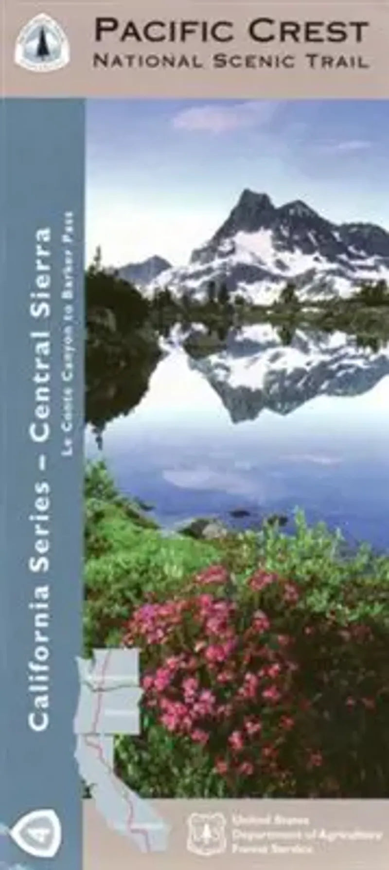
Pacific Crest Trail California Map - Section 4: Central Sierra
Pacific Crest Trail California Map - Section 4: Central Sierra
Couldn't load pickup availability
Share
Explore the heart of California’s High Sierra with the Pacific Crest National Scenic Trail – Central Sierra Map, the 4th in the 10-map Forest Service series. This ruggedly beautiful stretch winds through the Sierra National Forest and Inyo National Forest, near Mammoth Lakes and Yosemite’s southern boundary.
Highlights include Devil’s Postpile National Monument, the scenic Silver Pass, and the John Muir Wilderness. This region teems with alpine wildflowers, lodgepole pines, black bears, and elusive Sierra Nevada red foxes. Rich in Native American and pioneer history, the trail follows ancient trade routes and gold rush-era paths. Ideal for thru-hikers, backpackers, and equestrians, this waterproof, topographic map includes lat/long and UTM grids to keep you on course.
Whether you’re chasing epic views or solitude in the granite peaks, this map is your key to one of the most iconic sections of the Pacific Crest Trail. A must-have for any Central Sierra adventure.
SKU: SKU:NFCAPCT4
View full details


