National Forest Service
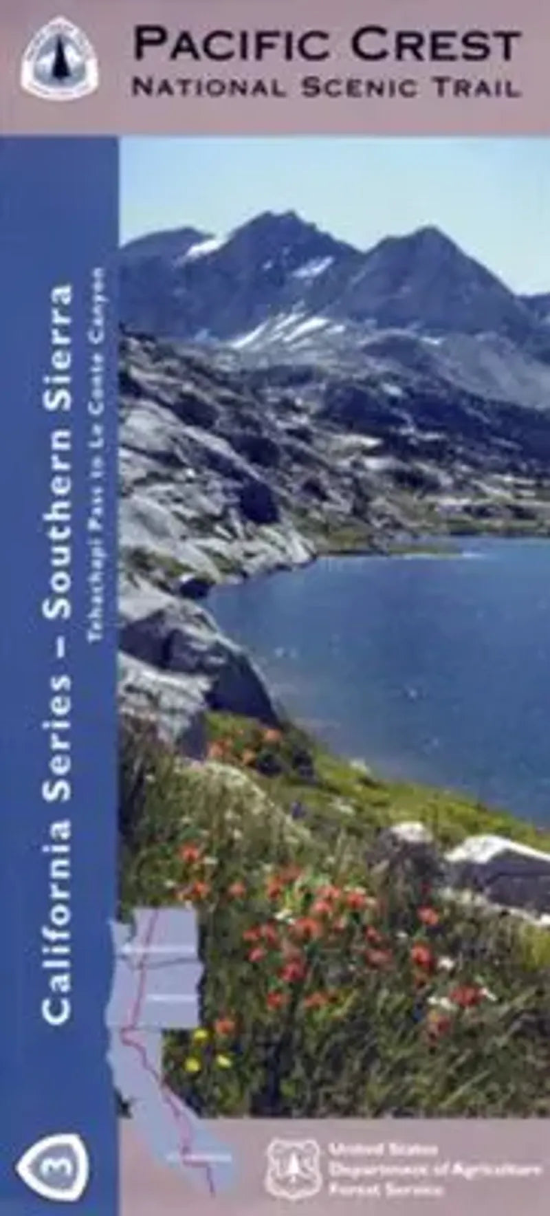
Pacific Crest Trail California Map - Section 3: Southern Sierra
Pacific Crest Trail California Map - Section 3: Southern Sierra
Couldn't load pickup availability
Share
Explore California’s breathtaking wilderness with the Pacific Crest National Scenic Trail – Southern Sierra Map, Forest Service edition (Map 3 of 10). This rugged section spans from Walker Pass near Lake Isabella to Cottonwood Pass, guiding you through the heart of the Southern Sierra Nevada.
Hike beneath ancient foxtail pines in the Golden Trout Wilderness, marvel at the volcanic domes of the Domeland Wilderness, and take in sweeping views from Olancha Peak. Wildlife abounds—watch for black bears, mule deer, and soaring golden eagles. This region holds deep cultural history, once home to the Tubatulabal and other Indigenous peoples. Today, it’s a magnet for hikers, backpackers, and equestrians seeking solitude and splendor.
Waterproof and topographic with UTM and lat/long grids, this map is essential for navigating one of the most iconic stretches of the PCT. Discover California’s high country adventure just east of Bakersfield and west of Death Valley.
SKU: SKU:NFCAPCT3
View full details