DeLorme
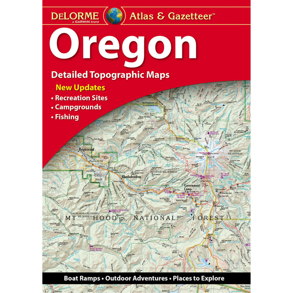
Oregon Topographic Atlas & Gazetteer by DeLorme
Oregon Topographic Atlas & Gazetteer by DeLorme
Couldn't load pickup availability
Share
Chase waterfalls, find hidden trailheads, and uncover Oregon’s wild side with the DeLorme Oregon Topographic Atlas & Gazetteer! Your next Pacific Northwest adventure starts here—with 72 pages of backroad discoveries and outdoor inspiration.
Ditch the dead phone battery, spotty cell service, and bulky folded maps! This convenient, bound atlas keeps detailed, full-color topographic maps organized and ready to reference, whether you’re planning a weekend hike, scouting a fishing hole, or exploring scenic backroads. From rugged mountain ranges and forested trails to historic towns, boat ramps, and peaceful recreation areas, the Beaver State is yours to discover.
Explore the dramatic waterfalls and lush forests of Silver Falls State Park, Oregon’s second-most-visited state park, or head to the stunning Oregon Dunes National Recreation Area for towering sand dunes, coastal scenery, and outdoor fun. With an extensive index, GPS-friendly latitude/longitude grid, major-city inset maps, and coverage of state lands, this DeLorme atlas makes finding your next destination easier.
Hike, camp, fish, or take the scenic route—this Oregon Topographic Atlas & Gazetteer is a backcountry essential for curious explorers who’d rather spend less time searching and more time adventuring!
SKU: SKU:DELOR
View full details