Rand McNally
Oregon State Highway Folded Map by Rand McNally - Easy to Read
Oregon State Highway Folded Map by Rand McNally - Easy to Read
Couldn't load pickup availability
Share
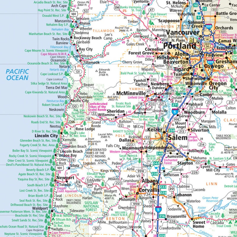
Hit the open road in the Beaver State with Rand McNally’s Oregon Easy to Read State Highway Map—your ticket to adventure that doesn’t depend on cell service or battery life! This full-color, regularly updated map makes trip planning a breeze with larger type, crisp details, and clearly marked highways, parks, airports, and points of interest. Whether you’re cruising the coast or winding through the Cascades, you’ll have the confidence to explore Oregon’s hidden gems.
Unlike your phone’s patchy GPS, this trusty paper map never drops signal and makes it easy to spot detours, scenic byways, and those quirky roadside stops worth pulling over for. Don’t miss a drive to the mystical Painted Hills—one of Oregon’s most underrated wonders, bursting with surreal color and prehistoric history. Compact, accurate, and ready for adventure, this foldable favorite belongs in every glove box headed for the Pacific Northwest.
SKU: SKU:RMCUSOR
View full details