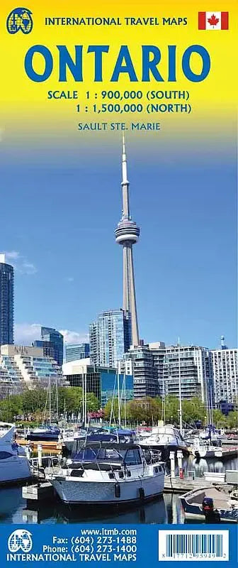
International Travel Maps
Ontario Travel Map
Ontario Travel Map
Couldn't load pickup availability
Share
The Ontario Travel Map ITM unfolds to reveal a comprehensive guide to the diverse landscapes and attractions of this Canadian province, spanning a vast expanse from the northern wilderness to the bustling urban centers in the south. With a size of 27" x 39", this double-sided Ontario Travel Map is an essential companion for travelers exploring Ontario's rich tapestry of natural beauty and cultural heritage.
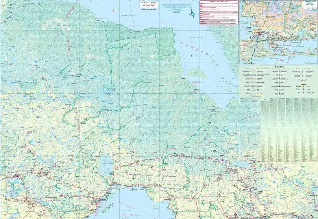
Side 1 of the Ontario Travel Map immerses explorers in the untamed splendor of northern Ontario, a region characterized sprawling lakes and rivers, punctuated rugged terrain and sparse population centers. Delve into the history of the Lake of the Woods region, once traversed fur trappers, now delineating a watery boundary between Canada and the USA. Discover the legacy of fur trade at Old Fort William near Thunder Bay, a testament to the region's storied past. Venture eastward to encounter the awe-inspiring Precambrian Shield, ancient mountains steeped in geological significance and mineral wealth. Journey onward to Cochrane, gateway to a polar bear sanctuary and the southern terminus of the fabled Hudson's Bay route rail.
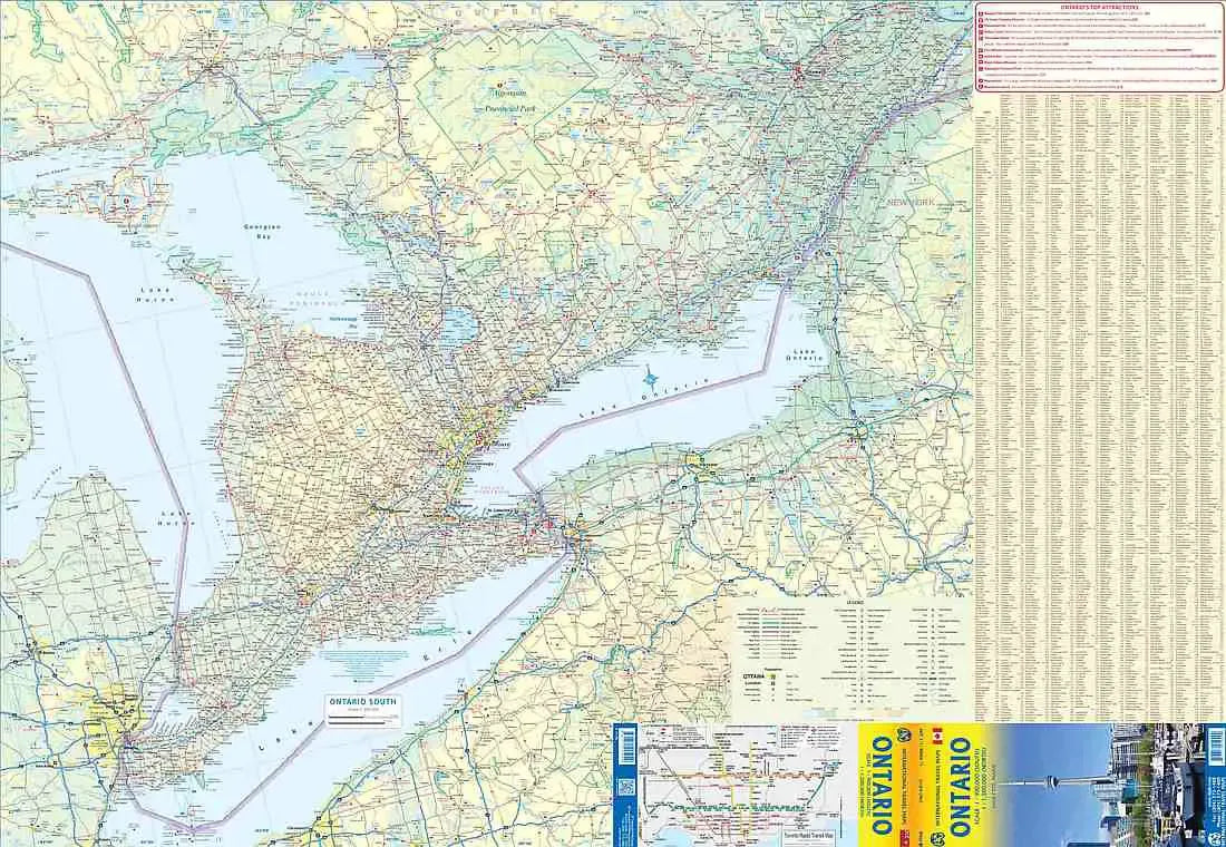
Side 2 of the Ontario Travel Map shifts focus to southern Ontario, a dynamic region extending like a spearhead into the heartland of the USA, yet separated the majestic Great Lakes. Navigate the vibrant metropolis of Toronto, a cultural melting pot and economic powerhouse. Marvel at the thunderous cascade of Niagara Falls, an iconic natural wonder drawing millions of visitors each year. Explore the historic charm of the Niagara Peninsula, where tales of past glories intertwine with modern-day allure. Escape into the wilderness of Algonquin Park, a sanctuary of pristine forests and shimmering lakes. Experience the tranquility of Muskoka cottage country, nestled amidst serene waters north of Toronto.
SKU: SKU:ITMONTARIO
View full details