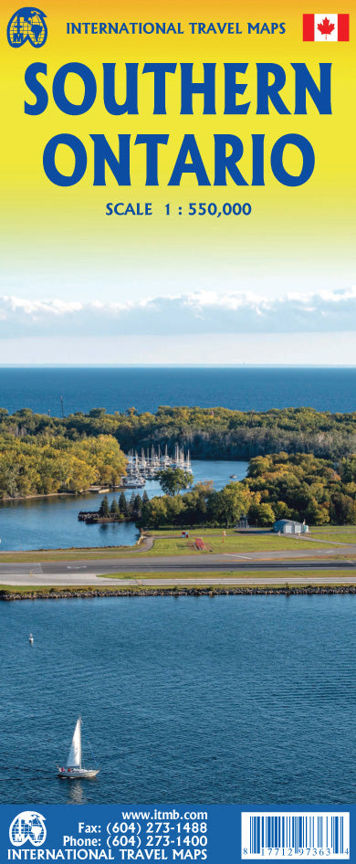
International Travel Maps
Ontario, Southern Travel & Reference Map by ITMB
Ontario, Southern Travel & Reference Map by ITMB
Couldn't load pickup availability
Share
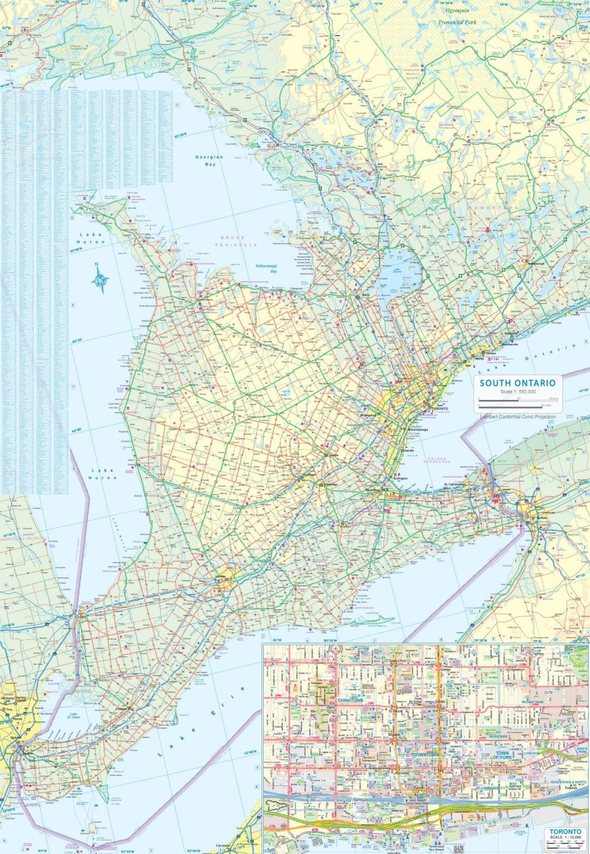
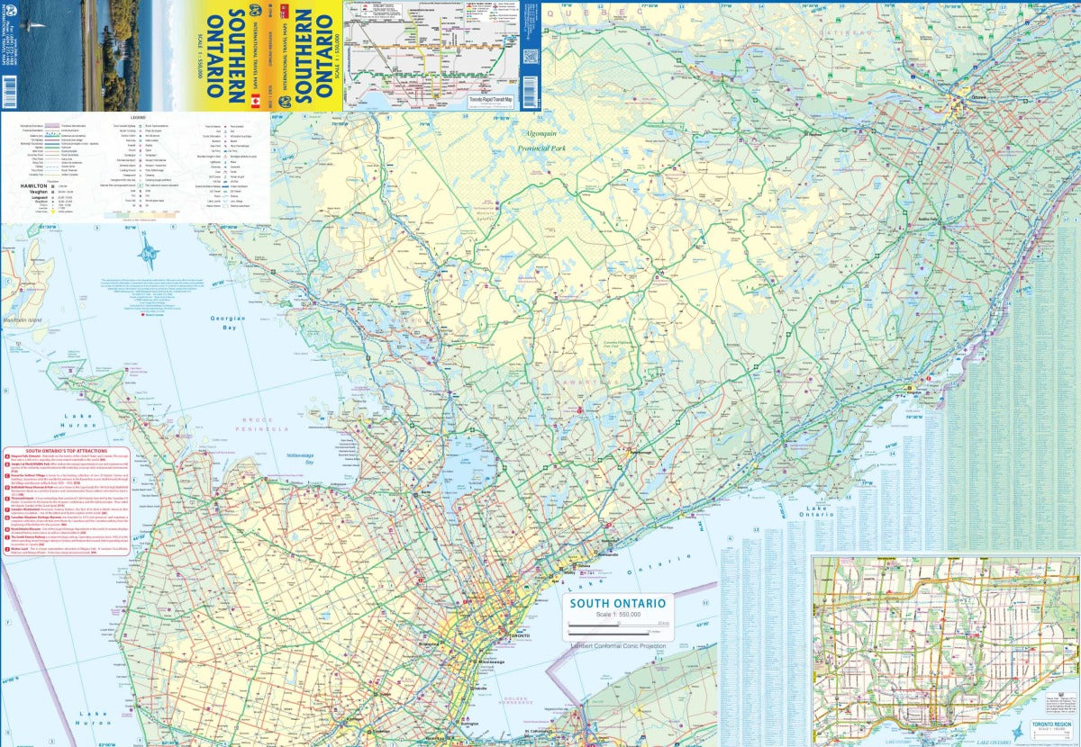
Discover the best of Canada’s most vibrant region with the double-sided, folded Southern Ontario Travel & Reference Map by ITMB, scaled at 1:550,000. Covering the bustling heart of Ontario, this map highlights the portion of the province bordering the Great Lakes, where most of Canada’s population resides.
Side one features the southeast region, connecting to Detroit and Cleveland, and includes Point Pelee National Park, London with its renowned university, the breathtaking Niagara Falls, Toronto, and the recreation-rich shores of Georgian Bay. A detailed inset of central Toronto helps you navigate Canada’s largest city with ease. Side two showcases historic eastern Ontario along Lake Ontario, with must-see destinations like Kingston, Peterborough, and Ottawa, the nation’s capital.
Rail routes, highways, and attractions are clearly marked, making this map an essential companion for road trips, sightseeing, or cross-border visits. Complete with a Top Attractions list, this 27" x 39" map blends practicality with discovery.
SKU: SKU:ITMONTARIOS
View full details