NOAA
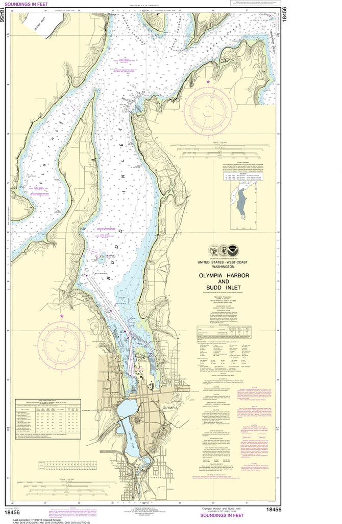
Olympia Harbor & Budd Inlet Nautical Chart #18456
Olympia Harbor & Budd Inlet Nautical Chart #18456
Couldn't load pickup availability
Share
Set your course for the southern reaches of Puget Sound with the Olympia Harbor & Budd Inlet Nautical Chart #18456! Whether you're a seasoned skipper, local boater, or maritime history enthusiast, this classic NOAA chart is a stunning blend of navigation heritage and coastal beauty.
Covering Olympia Harbor, Budd Inlet, East Bay, West Bay, and the bustling Port of Olympia, this detailed chart captures one of Washington's most scenic and historically significant waterways. At a precise 1:20,000 scale and measuring 24" x 41", it showcases marinas, channels, shoreline features, navigation aids, and surrounding coastal landmarks in exceptional detail.
Olympia has served as an important maritime gateway since the mid-1800s, helping fuel the region's timber trade and growth as Washington's capital city. Today, this chart makes a fantastic display piece for boaters, sailors, waterfront homeowners, and anyone who loves the rich maritime heritage of the Pacific Northwest.
(View more detail in nautical chart viewer)
Please note: For decorative and reference purposes only, NOAA has officially sunset traditional paper nautical charts. These legacy charts are no longer updated or approved for primary navigation.
SKU: SKU:NOS18456
View full details