DeLorme
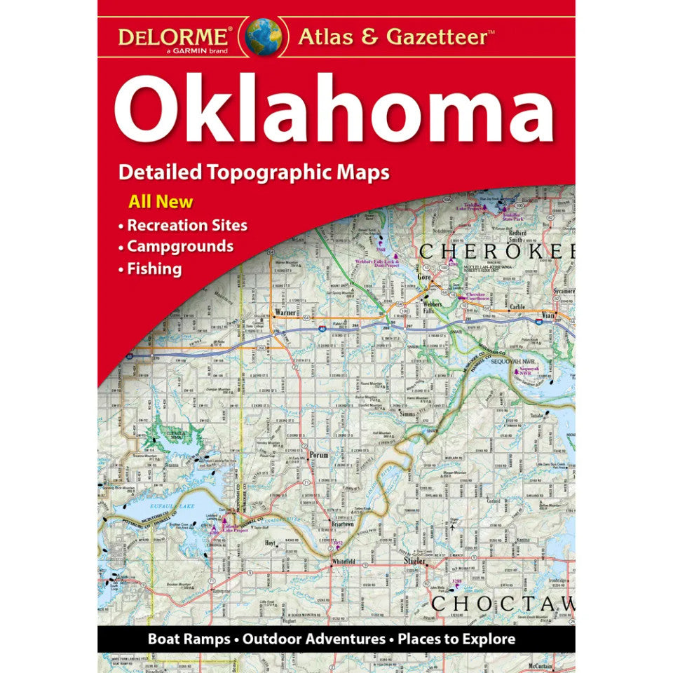
Oklahoma Topographic Atlas & Gazetteer by DeLorme
Oklahoma Topographic Atlas & Gazetteer by DeLorme
Couldn't load pickup availability
Share
Hit the trail, find your next fishing hole, and explore the Sooner State like never before! The Oklahoma Topographic Atlas & Gazetteer by DeLorme puts a whole world of outdoor adventure between two covers.
Skip the tiny phone screen, spotty cell service, and awkward folded maps! This handy, book-bound Oklahoma atlas delivers detailed, full-color topographic maps you can flip through, compare, and reference wherever your adventures take you. From winding backroads and scenic drives to hidden trailheads, historic sites, boat ramps, and prime fishing spots, this guide helps you uncover the best of Oklahoma’s great outdoors.
Head for the sparkling waters of Grand Lake o’ the Cherokees, the state’s second-most-visited recreational destination, or explore the rugged beauty of Beavers Bend State Park, another favorite outdoor escape. Discover rolling hills, wooded trails, and peaceful fishing spots across the Sooner State, all with reliable geographic detail at your fingertips.
An extensive index, latitude/longitude grid for GPS navigation, major-city insets, and maps of state lands make planning easy. Whether you’re hiking, camping, boating, or road-tripping, this DeLorme Oklahoma Topographic Atlas & Gazetteer is your backcountry companion for getting out there and finding your next adventure!
SKU: SKU:DELOK
View full details