

National Forest Service
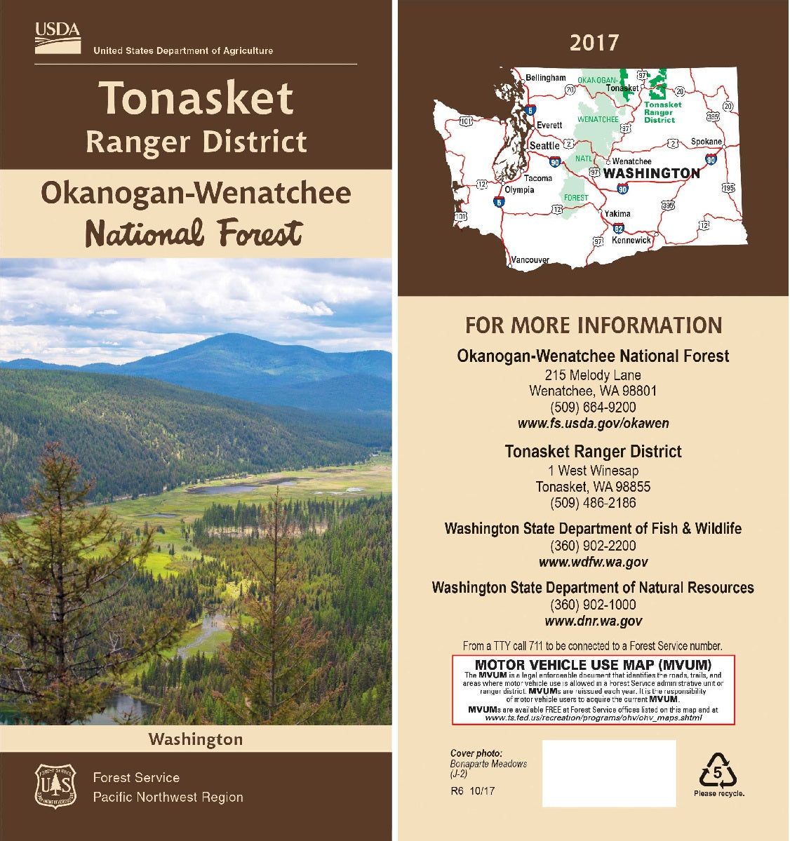
Okanogan-Wenatchee NF - Tonasket Ranger District Forest Service Map
Okanogan-Wenatchee NF - Tonasket Ranger District Forest Service Map
Couldn't load pickup availability
Share
Discover the wild beauty of north-central Washington with the Tonasket Ranger District Forest Service Map. Covering over 500,000 acres within the Okanogan-Wenatchee National Forest, this rugged terrain offers year-round adventure.
Visit the stunning Tiffany Mountain, hike the historic Pacific Northwest Trail, or fish in the tranquil Bonaparte Lake. Rich in biodiversity, the district features dense stands of ponderosa pine, vibrant wildflower meadows, and wildlife like black bears, mule deer, and golden eagles. Steeped in Native American and logging history, the area invites you to explore its past and present. Located near the town of Tonasket, just south of the Canadian border, this topographic map includes detailed trails, campgrounds, and recreation info for hiking, biking, horseback riding, and winter sports.
Waterproof and tear-resistant, it’s your essential companion for exploring one of Washington’s most scenic and secluded outdoor escapes. Plan your next forest adventure today!
- Waterproof Map
- 1" to the mile
- Topographic lines show elevations
SKU: SKU:NFWATONRD
View full details